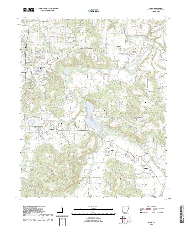
2024 Map of Elkins
USGS Topo · Published 2024About this map
The White River and its multiple tributaries dominate this section of Washington County, winding through a landscape of ridges and named peaks. The confluence of the West Fork White River, Middle Fork White River, and Mud Creek serves as the focal point for established communities like Elkins and Harris. These watercourses define the layout of the region's early transportation network, where routes like Old Wire Rd and E Huntsville Rd follow the natural contours of the land.
Find a feature on this map
76 named features on this map. Tap any name to fly to it.
Don’t see what you’re looking for? This feature index may not catch every label — zoom into the map to look around manually.
Map Details
Editions of this 2024 Elkins Map
This is the sole edition of this map. No revisions or reprints were ever made.
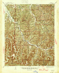
Other maps of this area

1898 · Winslow
USGS Topo · 1:125,000

1899 · Fayetteville
USGS Topo · 1:125,000

1900 · Eureka Springs
USGS Topo · 1:125,000

1901 · Winslow
USGS Topo · 1:125,000

1901 · Eureka Springs
USGS Topo · 1:125,000

1901 · Fayetteville
USGS Topo · 1:125,000

1904 · Fayetteville
USGS Topo · 1:125,000

1943 · St. Paul
USGS Topo · 1:62,500

1945 · Harrison
USGS Topo · 1:250,000
1946 · St. Paul
USGS Topo · 1:62,500