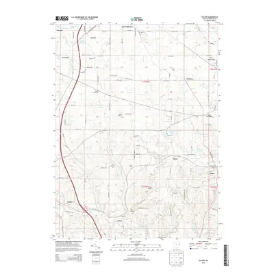
2013 Map of Elkton
USGS Topo · Published 2013About this map
Middle Fork Little Beaver Creek meanders through the southern half of this landscape, anchoring the village of Elkton and the steep terrain of Pine Hollow. This area of Columbiana County is defined by a dense network of country roads connecting small settlements like Signal and Middleton. Agriculture remains a primary influence, evidenced by the Unkefer Dairy Farm and Hays Orchard, while several historic burying grounds, including Zeppernick Cem and Church Hill Cem, provide a record of early family settlement in the township.
Find a feature on this map
90 named features on this map. Tap any name to fly to it.
Don’t see what you’re looking for? This feature index may not catch every label — zoom into the map to look around manually.
Map Details
Editions of this 2013 Elkton Map
This is the sole edition of this map. No revisions or reprints were ever made.
Other maps of this area

1904 · Wellsville
USGS Topo · 1:62,500

1905 · Salineville
USGS Topo · 1:62,500

1907 · Columbiana
USGS Topo · 1:62,500

1909 · Lisbon
USGS Topo · 1:62,500

1909 · Columbiana
USGS Topo · 1:62,500

1937 · Wellsville
USGS Topo · 1:62,500

1944 · Wellsville
USGS Topo · 1:62,500

1951 · Canton
USGS Topo · 1:250,000

1951 · Columbiana
USGS Topo · 1:24,000
1951 · New Middletown
USGS Topo · 1:24,000