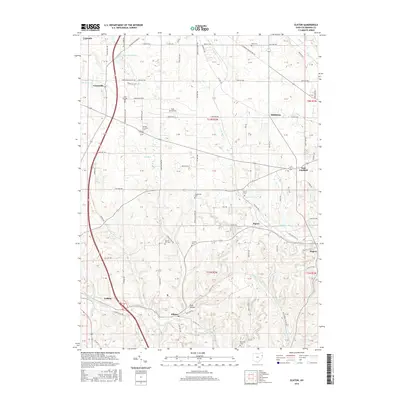
2016 Map of Elkton
USGS Topo · Published 2016About this map
Middle Fork Little Beaver Creek and its many tributaries, such as Turkeyfoot Run and Elk Run, carve through the rolling landscape of eastern Ohio. This survey reveals a dense concentration of early burying grounds, including Church Hill Cem, Kembles Cem, and Cool Springs Cem, reflecting the deep-rooted settlement patterns of Fairfield Township. Small communities like Elkton, Signal, and Middleton are connected by a network of rural routes such as Fairfield School Rd and Columbiana Lisbon Rd.
Find a feature on this map
87 named features on this map. Tap any name to fly to it.
Don’t see what you’re looking for? This feature index may not catch every label — zoom into the map to look around manually.
Map Details
Editions of this 2016 Elkton Map
This is the sole edition of this map. No revisions or reprints were ever made.
Other maps of this area

1904 · Wellsville
USGS Topo · 1:62,500

1905 · Salineville
USGS Topo · 1:62,500

1907 · Columbiana
USGS Topo · 1:62,500

1909 · Lisbon
USGS Topo · 1:62,500

1909 · Columbiana
USGS Topo · 1:62,500

1937 · Wellsville
USGS Topo · 1:62,500

1944 · Wellsville
USGS Topo · 1:62,500

1951 · Canton
USGS Topo · 1:250,000

1951 · Columbiana
USGS Topo · 1:24,000
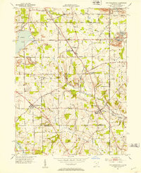
1951 · New Middletown
USGS Topo · 1:24,000