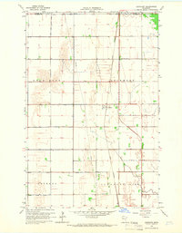
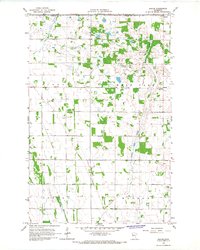
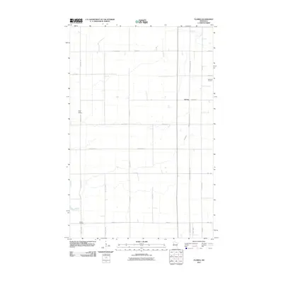
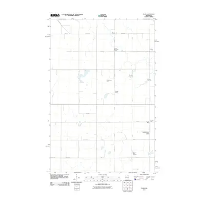
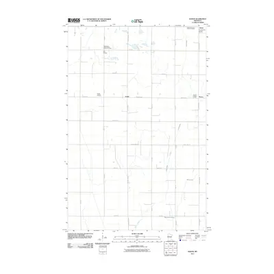
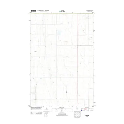
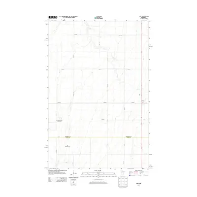
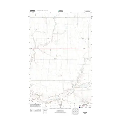
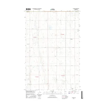
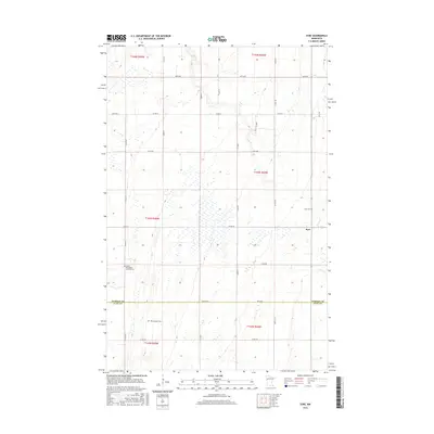
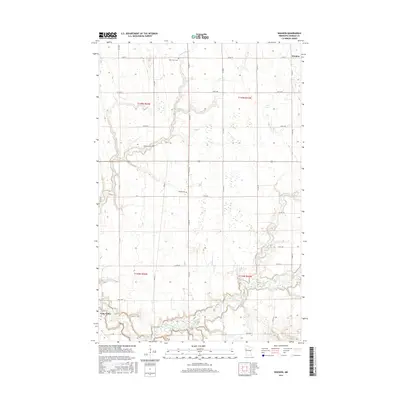
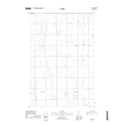
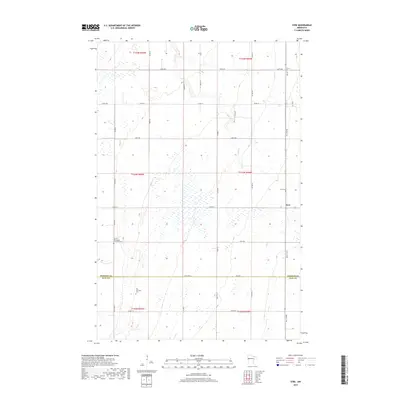
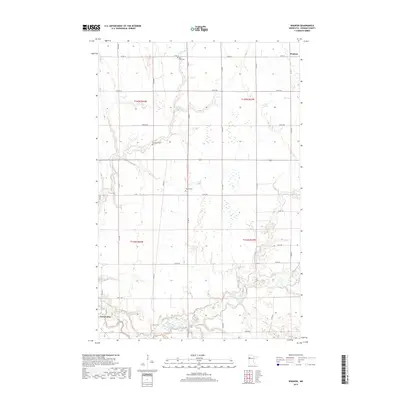
1967 Map of Elkton
USGS Topo · Published 1968About this map
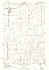
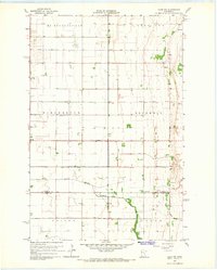
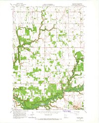
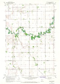
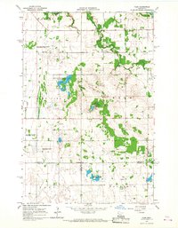
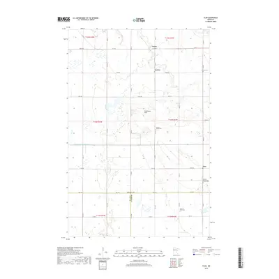
The borderlands of South Dakota and Minnesota are captured here in the late 1960s, defined by a rigid grid of section lines and the converging paths of several major railroads. In the northwest, the town of Elkton serves as a hub where the C & N W and the Chicago and North Western lines intersect. These rail corridors dictated the growth of small settlements like Ward, located further south along the Chicago Rock Island and Pacific tracks. The landscape is etched with meandering waterways including Spring Creek and Medary Creek, which cut across the agricultural geometry. Genealogists will find the locations of St Marys Cem and Trinity Cem valuable for local research. The prevalence of numerous Gravel Pits scattered near the rail lines suggests a local economy tied to both the extraction of materials and the transport infrastructure required to move them across state lines.
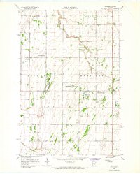
Find a feature on this map
23 named features on this map. Tap any name to fly to it.
Don’t see what you’re looking for? This feature index may not catch every label — zoom into the map to look around manually.
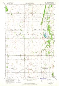
Map Details
Editions of this 1967 Elkton Map
This is the sole edition of this map. No revisions or reprints were ever made.
Historical Maps of Clay County Through Time
73 maps found
1965 Ada NW
Norman County, MN
1965 Anthony
Norman County, MN
1965 Flaming
Norman County, MN
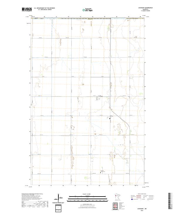
1965 Lockhart
Norman County, MN
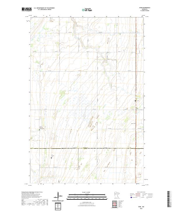
1965 Syre
Norman County, MN
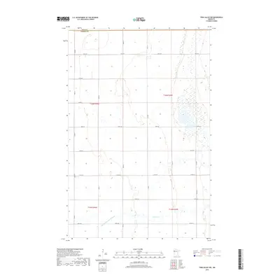
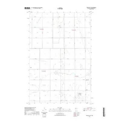
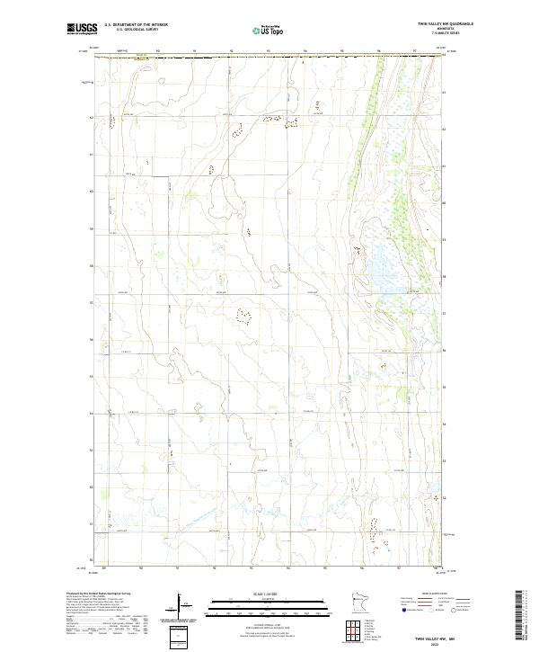
1965 Twin Valley NW
Norman County, MN
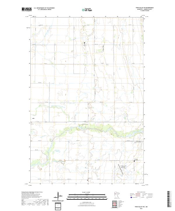
1965 Twin Valley SW
Norman County, MN
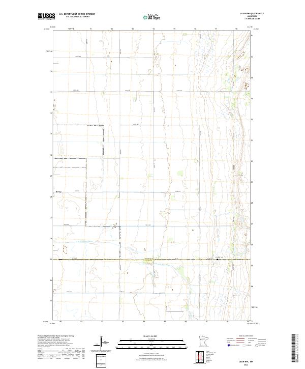
1965 Ulen NW
Norman County, MN
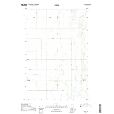
1965 Waukon
Norman County, MN
1966 Felton NW
Norman County, MN
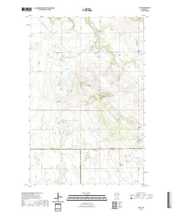
1966 Flom
Norman County, MN
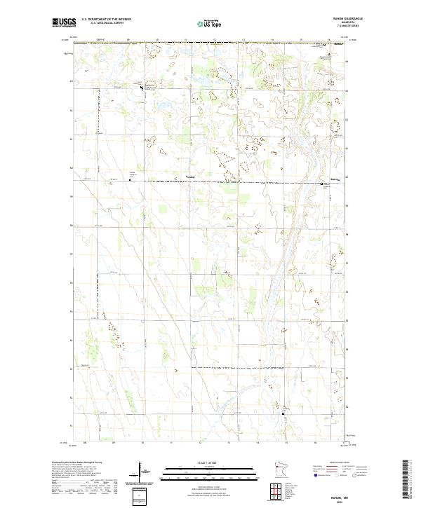
1966 Ranum
Norman County, MN
1967 Elkton
Norman County, MN
2010 Ada NW
Norman County, MN
2010 Anthony
Norman County, MN
2010 Felton NW
Norman County, MN
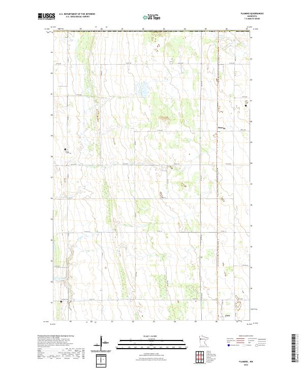
2010 Flaming
Norman County, MN
2010 Lockhart
Norman County, MN
2010 Syre
Norman County, MN
2010 Twin Valley NW
Norman County, MN
2010 Twin Valley SW
Norman County, MN
2010 Ulen NW
Norman County, MN
2010 Waukon
Norman County, MN
2011 Flom
Norman County, MN
2011 Ranum
Norman County, MN
2013 Ada NW
Norman County, MN
2013 Anthony
Norman County, MN
2013 Felton NW
Norman County, MN
2013 Flaming
Norman County, MN
2013 Flom
Norman County, MN
2013 Lockhart
Norman County, MN
2013 Ranum
Norman County, MN
2013 Syre
Norman County, MN
2013 Twin Valley NW
Norman County, MN
2013 Twin Valley SW
Norman County, MN
2013 Ulen NW
Norman County, MN
2013 Waukon
Norman County, MN
2016 Ada NW
Norman County, MN
2016 Anthony
Norman County, MN
2016 Felton NW
Norman County, MN
2016 Flaming
Norman County, MN
2016 Flom
Norman County, MN
2016 Lockhart
Norman County, MN
2016 Ranum
Norman County, MN
2016 Syre
Norman County, MN
2016 Twin Valley NW
Norman County, MN
2016 Twin Valley SW
Norman County, MN
2016 Ulen NW
Norman County, MN
2016 Waukon
Norman County, MN
2019 Ada NW
Norman County, MN
2019 Anthony
Norman County, MN
2019 Felton NW
Norman County, MN
2019 Flaming
Norman County, MN
2019 Flom
Norman County, MN
2019 Lockhart
Norman County, MN
2019 Ranum
Norman County, MN
2019 Syre
Norman County, MN
2019 Twin Valley NW
Norman County, MN
2019 Twin Valley SW
Norman County, MN
2019 Ulen NW
Norman County, MN
2019 Waukon
Norman County, MN
2022 Ada NW
Norman County, MN
2022 Anthony
Norman County, MN
2022 Felton NW
Norman County, MN
2022 Flaming
Norman County, MN
2022 Flom
Norman County, MN
2022 Lockhart
Norman County, MN
2022 Ranum
Norman County, MN
2022 Syre
Norman County, MN
2022 Twin Valley NW
Norman County, MN
2022 Twin Valley SW
Norman County, MN
2022 Ulen NW
Norman County, MN
2022 Waukon
Norman County, MN