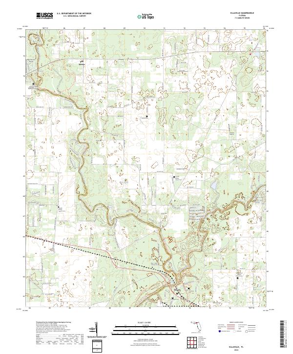
2024 Map of Ellaville
USGS Topo · Published 2024About this map
Withlacoochee River and Suwannee River converge in this northern Florida landscape, marking the intersection of Madison, Hamilton, and Suwannee Counties. The settlement of Ellaville sits near the confluence, serving as a focal point for a region defined by its hydrography and conservation lands. The presence of numerous springs, including Blue Springs, Morgans Spring, and Adams Spring, indicates the unique karst topography of the area, which has long influenced local settlement patterns and recreation.
Find a feature on this map
132 named features on this map. Tap any name to fly to it.
Don’t see what you’re looking for? This feature index may not catch every label — zoom into the map to look around manually.
Map Details
Editions of this 2024 Ellaville Map
This is the sole edition of this map. No revisions or reprints were ever made.
Other maps of this area

1954 · Valdosta
USGS Topo · 1:250,000

1956 · Jennings
USGS Topo · 1:24,000

1956 · Octahatchee
USGS Topo · 1:24,000

1958 · Valdosta
USGS Topo · 1:250,000

1958 · Fort Union
USGS Topo · 1:24,000

1958 · Madison SE
USGS Topo · 1:24,000

1958 · Lee
USGS Topo · 1:24,000

1959 · Valdosta
USGS Topo · 1:250,000

1959 · Ellaville
USGS Topo · 1:24,000

1959 · Live Oak West
USGS Topo · 1:24,000