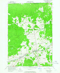
1964 Map of Ellenburg Depot
USGS Topo · Published 1966About this map
Ellenburg Depot serves as a primary point of interest along the northern New York borderlands during the mid-1960s. The landscape is defined by the winding course of the North Branch Great Chazy River and the English River, which flow through a mix of forested tracts and rural clearings. Significant areas are designated as State Forest Preserve, indicating a region where conservation and timber lands intersect with early 19th-century infrastructure like the Military Turnpike. Genealogists will find the locations of St Edmunds Cem and Sheldon Hill Cem useful for tracing local family histories. Smaller settlements like Clinton Mills and Dannemora Crossing illustrate the traditional hamlet-based development of Clinton County, while the international boundary with Quebec, Canada, is clearly marked along the northern edge of the survey.
Find a feature on this map
35 named features on this map. Tap any name to fly to it.
Don’t see what you’re looking for? This feature index may not catch every label — zoom into the map to look around manually.
Map Details
Editions of this 1964 Ellenburg Depot Map
2 editions found
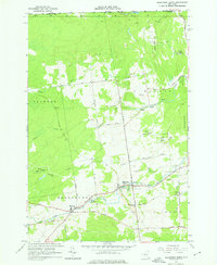
Other maps of this area

1895 · Mooers
USGS Topo · 1:62,500

1899 · Mooers
USGS Topo · 1:62,500

1915 · Churubusco
USGS Topo · 1:62,500

1942 · Mooers
USGS Topo · 1:62,500

1943 · Churubusco
USGS Topo · 1:62,500

1943 · Mooers
USGS Topo · 1:62,500

1950 · Lake Champlain
USGS Topo · 1:250,000
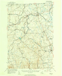
1956 · Mooers
USGS Topo · 1:62,500

1958 · Lake Champlain
USGS Topo · 1:250,000

1962 · Lake Champlain
USGS Topo · 1:250,000