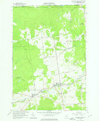
1964 Map of Ellenburg Depot
USGS Topo · Published 1976About this map
The International Boundary defines the northern edge of this North Country landscape, where the town of Clinton Mills and the community of Ellenburg Depot sit among the headwaters of the Champlain Valley drainage. The terrain is characterized by the descent of the English River and the Great Chazy River, which provide drainage for the surrounding State Forest Preserve. Transportation in the mid-1960s was a mix of historic routes and utilitarian access, including the Old Military Turnpike and various Jeep Trails carving through the wooded uplands.
Find a feature on this map
41 named features on this map. Tap any name to fly to it.
Don’t see what you’re looking for? This feature index may not catch every label — zoom into the map to look around manually.
Map Details
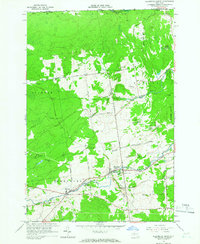
Editions of this 1964 Ellenburg Depot Map
2 editions found
Other maps of this area

1895 · Mooers
USGS Topo · 1:62,500

1899 · Mooers
USGS Topo · 1:62,500

1915 · Churubusco
USGS Topo · 1:62,500

1942 · Mooers
USGS Topo · 1:62,500

1943 · Churubusco
USGS Topo · 1:62,500

1943 · Mooers
USGS Topo · 1:62,500

1950 · Lake Champlain
USGS Topo · 1:250,000
1956 · Mooers
USGS Topo · 1:62,500

1958 · Lake Champlain
USGS Topo · 1:250,000

1962 · Lake Champlain
USGS Topo · 1:250,000