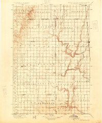
1899 Map of Ellendale
USGS Topo · Published 1925About this map
Ellendale serves as a primary hub in the north of this prairie landscape, where the Chicago Milwaukee and St. Paul R. R. follows the James River Div. through the eastern section of the sheet. Surveyed in the late 19th century, the map documents a transition across the North Dakota South Dakota boundary line, illustrating the early township structure and drainage patterns of the Elm River and Maple River. Small settlements and rail stops like Frederick and Leola anchor their respective regions, while smaller place names such as Alpha, Sutherland, Pioneer, and Delhi represent the dispersed nature of early agricultural settlement. The map captures a moment before modern consolidation, showing the intricate network of local creeks including Snake Creek, Foot Creek, and Willow Creek that defined the movement of people and livestock across these territorial lines.
Find a feature on this map
48 named features on this map. Tap any name to fly to it.
Don’t see what you’re looking for? This feature index may not catch every label — zoom into the map to look around manually.
Map Details
Editions of this 1899 Ellendale Map
2 editions found
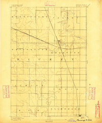
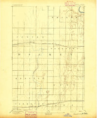
Other maps of this area
1894 · Monango
USGS Topo · 1:62,500

1894 · Ellendale
USGS Topo · 1:62,500

1894 · Columbia
USGS Topo · 1:62,500

1894 · Savo
USGS Topo · 1:62,500
1894 · Fullerton
USGS Topo · 1:62,500

1895 · Lamoure
USGS Topo · 1:125,000

1895 · Aberdeen
USGS Topo · 1:125,000

1896 · Columbia
USGS Topo · 1:125,000
1896 · Edgeley
USGS Topo · 1:125,000

1899 · Ellendale
USGS Topo · 1:125,000