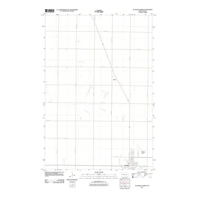
2011 Map of Ellendale North
USGS Topo · Published 2011About this map
The town of Ellendale serves as the focal point of this North Dakota landscape, situated at the southern edge of a grid-dominated prairie. This 2011 survey shows the town's street-level detail, including the intersection of Main St and 1st St N, alongside infrastructure such as Cemetery Rd and the Ellendale Municipal Airport. Northward, the landscape transitions to open agricultural sections, divided by a precise network of rural roads like 85th Ave SE and 92nd St SE.
Find a feature on this map
32 named features on this map. Tap any name to fly to it.
Don’t see what you’re looking for? This feature index may not catch every label — zoom into the map to look around manually.
Map Details
Editions of this 2011 Ellendale North Map
This is the sole edition of this map. No revisions or reprints were ever made.
Other maps of this area

1894 · Monango
USGS Topo · 1:62,500

1894 · Ellendale
USGS Topo · 1:62,500

1894 · Savo
USGS Topo · 1:62,500

1894 · Fullerton
USGS Topo · 1:62,500

1895 · Lamoure
USGS Topo · 1:125,000

1896 · Columbia
USGS Topo · 1:125,000

1896 · Edgeley
USGS Topo · 1:125,000

1899 · Ellendale
USGS Topo · 1:125,000

1918 · La Moure
USGS Topo · 1:125,000

1925 · Edgeley
USGS Topo · 1:125,000