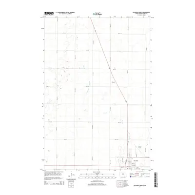
2014 Map of Ellendale North
USGS Topo · Published 2014About this map
The southern edge of the James River Valley is defined by Ellendale, where the town’s residential grid transitions into the expansive agricultural landscape of Dickey County. This 2014 survey documents the physical footprint of Trinity Bible Coll and the operational layout of the Ellendale Municipal Airport. Northwest of the town center, the small settlement of Duane sits along the highway, serving as a landmark in a territory characterized by the winding path of Sewer Br and its larger tributary, Sewer Branch. The map’s detailed road network, including Railroad Ave N and Rolling Acres Rd, illustrates how modern infrastructure follows the historic patterns of the prairie. Small depressions and water catchments are scattered throughout the sections, revealing the subtle hydrology of the North Dakota plains during the early 21st century.
Find a feature on this map
32 named features on this map. Tap any name to fly to it.
Don’t see what you’re looking for? This feature index may not catch every label — zoom into the map to look around manually.
Map Details
Editions of this 2014 Ellendale North Map
This is the sole edition of this map. No revisions or reprints were ever made.
Other maps of this area

1894 · Monango
USGS Topo · 1:62,500

1894 · Ellendale
USGS Topo · 1:62,500

1894 · Savo
USGS Topo · 1:62,500

1894 · Fullerton
USGS Topo · 1:62,500

1895 · Lamoure
USGS Topo · 1:125,000

1896 · Columbia
USGS Topo · 1:125,000

1896 · Edgeley
USGS Topo · 1:125,000

1899 · Ellendale
USGS Topo · 1:125,000

1918 · La Moure
USGS Topo · 1:125,000

1925 · Edgeley
USGS Topo · 1:125,000