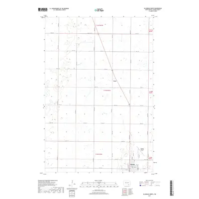
2017 Map of Ellendale North
USGS Topo · Published 2017About this map
Ellendale serves as the primary hub in this portion of Dickey County, where the grid of the northern plains meets specialized institutional grounds like the Trinity Bible Coll. The landscape is defined by its agricultural layout, organized into townships like t130n r63w and t131n r63w, and crossed by drainage features such as Sewer Br. To the north, the small settlement of Duane stands along the primary north-south highway corridor, illustrating the dispersed nature of rail-age towns that once dotted the region. The map captures the infrastructure supporting this rural economy, from the Ellendale Municipal Airport to a precise network of section-line roads like 97th St SE and 85th Ave SE. This survey provides a clear view of the intersection between civic life in town and the structured, productive territory of the surrounding prairie.
Find a feature on this map
38 named features on this map. Tap any name to fly to it.
Don’t see what you’re looking for? This feature index may not catch every label — zoom into the map to look around manually.
Map Details
Editions of this 2017 Ellendale North Map
This is the sole edition of this map. No revisions or reprints were ever made.
Other maps of this area

1894 · Monango
USGS Topo · 1:62,500

1894 · Ellendale
USGS Topo · 1:62,500

1894 · Savo
USGS Topo · 1:62,500

1894 · Fullerton
USGS Topo · 1:62,500

1895 · Lamoure
USGS Topo · 1:125,000

1896 · Columbia
USGS Topo · 1:125,000

1896 · Edgeley
USGS Topo · 1:125,000

1899 · Ellendale
USGS Topo · 1:125,000

1918 · La Moure
USGS Topo · 1:125,000

1925 · Edgeley
USGS Topo · 1:125,000