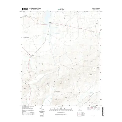
2014 Map of Ellisville
USGS Topo · Published 2014About this map
Frog Mountain and the surrounding ridgelines of Coloma Mtn and Wolfden Mtn dominate this portion of Cherokee County, where the southern Appalachian foothills meet the creek bottoms of Terrapin Creek. The landscape is a mix of small agricultural settlements and elevated terrain, connected by a network of county roads like CR-31 and CR-168. Historically significant sites for genealogists include numerous community burial grounds such as Moshat Cem, Mt Zion Cem, and Sheepskin Cem.
Find a feature on this map
90 named features on this map. Tap any name to fly to it.
Don’t see what you’re looking for? This feature index may not catch every label — zoom into the map to look around manually.
Map Details
Editions of this 2014 Ellisville Map
This is the sole edition of this map. No revisions or reprints were ever made.
Other maps of this area

1886 · Rome
USGS Topo · 1:125,000

1889 · Tallapoosa
USGS Topo · 1:125,000

1892 · Tallapoosa
USGS Topo · 1:125,000

1893 · Fort Payne
USGS Topo · 1:125,000

1897 · Tallapoosa
USGS Topo · 1:125,000

1898 · Rome
USGS Topo · 1:125,000

1898 · Fort Payne
USGS Topo · 1:125,000

1899 · Rome
USGS Topo · 1:125,000

1900 · Fort Payne
USGS Topo · 1:125,000

1900 · Anniston
USGS Topo · 1:125,000