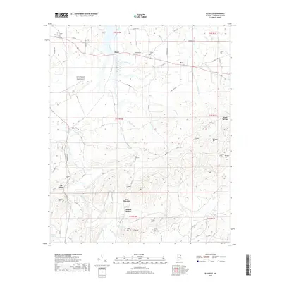
2018 Map of Ellisville
USGS Topo · Published 2018About this map
Frog Mountain and the surrounding ridgelines of Cherokee County define this area of Alabama, where small rural communities are connected by a dense network of county roads. The settlement pattern is anchored by locations like Ellisville, Bomar, and Old Coloma, while aviation infrastructure is represented by the Headquarters Airport and Centre-Piedmont-Cherokee County Regional Airport.
Find a feature on this map
97 named features on this map. Tap any name to fly to it.
Don’t see what you’re looking for? This feature index may not catch every label — zoom into the map to look around manually.
Map Details
Editions of this 2018 Ellisville Map
This is the sole edition of this map. No revisions or reprints were ever made.
Other maps of this area

1886 · Rome
USGS Topo · 1:125,000

1889 · Tallapoosa
USGS Topo · 1:125,000

1892 · Tallapoosa
USGS Topo · 1:125,000

1893 · Fort Payne
USGS Topo · 1:125,000

1897 · Tallapoosa
USGS Topo · 1:125,000

1898 · Rome
USGS Topo · 1:125,000

1898 · Fort Payne
USGS Topo · 1:125,000

1899 · Rome
USGS Topo · 1:125,000

1900 · Fort Payne
USGS Topo · 1:125,000

1900 · Anniston
USGS Topo · 1:125,000