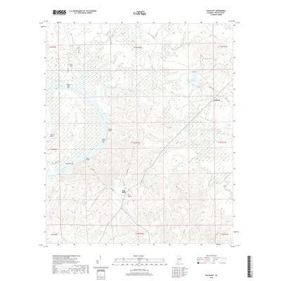
2018 Map of Elm Bluff
USGS Topo · Published 2018About this map
Elm Bluff and Milton Bluff anchor this survey of the riverbanks along the Alabama River in Dallas County. The landscape is defined by the river's winding course, featuring prominent geological and navigational markers such as Molette Bend, Providence Bar, and Lower Sister Bar. These features, along with the deep cuts of Cedar Creek and Mush Creek, illustrate the complex hydrology that historically dictated settlement and transit in this region. Away from the water, the terrain rises into hills dotted with local landmarks and family legacy sites.
Find a feature on this map
39 named features on this map. Tap any name to fly to it.
Don’t see what you’re looking for? This feature index may not catch every label — zoom into the map to look around manually.
Map Details
Editions of this 2018 Elm Bluff Map
This is the sole edition of this map. No revisions or reprints were ever made.
Other maps of this area
1953 · Montgomery
USGS Topo · 1:250,000
1956 · Montgomery
USGS Topo · 1:250,000
1957 · Montgomery
USGS Topo · 1:250,000
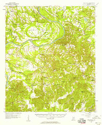
1957 · Carlowville
USGS Topo · 1:62,500
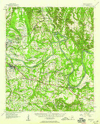
1957 · Benton
USGS Topo · 1:62,500
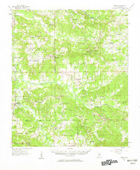
1957 · Braggs
USGS Topo · 1:62,500
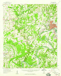
1958 · Selma
USGS Topo · 1:62,500
1975 · Selma SE
USGS Topo · 1:24,000
1975 · Carlowville NE
USGS Topo · 1:24,000
1975 · Benton SW
USGS Topo · 1:24,000