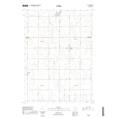
2022 Map of Elma
USGS Topo · Published 2022About this map
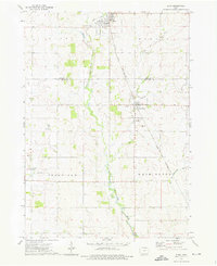
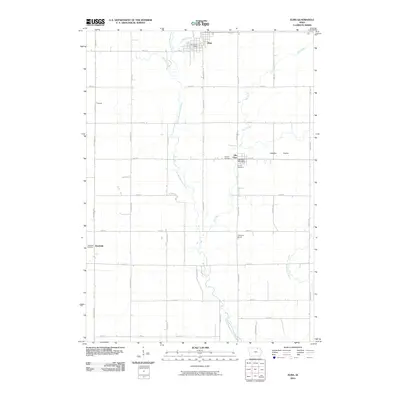
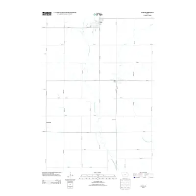
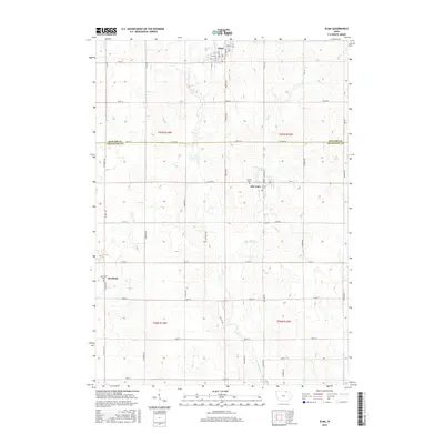
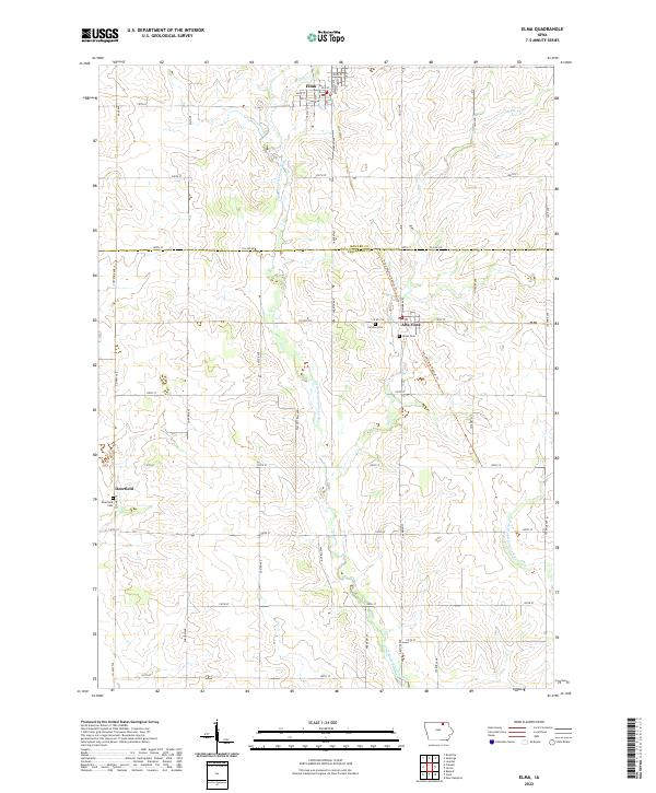
Elma stands as the primary settlement in this corner of northern Iowa, situated just north of the Howard Co Chickasaw Co line. The landscape is defined by the winding course of the Little Wapsipinicon River and its various tributaries, including the E Fork Wapsipinicon River and Mead Cr. These waterways historically dictated the settlement patterns of the region, influencing the placement of smaller communities like Alta Vista and the rural area of Deerfield. Local genealogy and land history are anchored by several established burial grounds, including Calvary Cem, Union Cem, and Deerfield Cem. Modern conservation efforts are visible through the Price Wildlife Habitat Trl, which traverses the terrain near the Chickasaw county border, while a rigid grid of country roads such as Co Line Rd and Co Hwy T76 maintains the agricultural structure of the plains.
Find a feature on this map
33 named features on this map. Tap any name to fly to it.
Don’t see what you’re looking for? This feature index may not catch every label — zoom into the map to look around manually.
Map Details
Editions of this 2022 Elma Map
This is the sole edition of this map. No revisions or reprints were ever made.
Historical Maps of Elma Through Time
6 maps found