Loading...
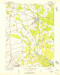
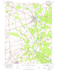
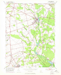
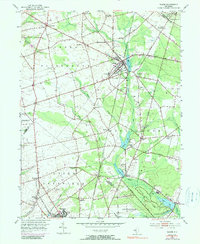
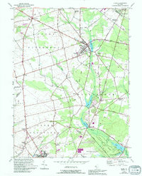
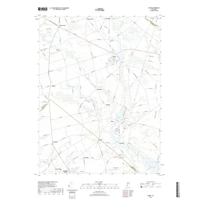
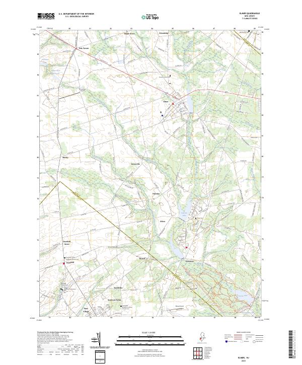
Loading map...1953 Map of Elmer
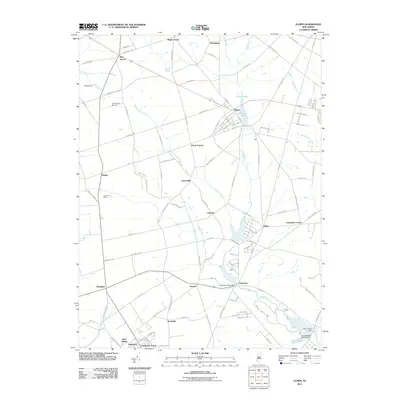
USGS Topo · Published 1954About this map
The Pennsylvania-Reading Seashore Lines cuts a diagonal path through the heart of this agricultural region, anchoring the development of Elmer and smaller outlying communities like Husted and Monroeville. In the early 1950s, the landscape was a mix of fertile farmland and wooded patches, defined by the winding course of Muddy Run and the Salem River. The presence of the Monroeville Synagogue and several rural houses of worship such as Faith Ch and Olivet Ch reflect the community life of established Salem County families.
Find a feature on this map
55 named features on this map. Tap any name to fly to it.
Don’t see what you’re looking for? This feature index may not catch every label — zoom into the map to look around manually.
Map Details
Date Portrayed1953
Date Published1954
PublisherU.S. Geological Survey
Map TypeTopographic
Scale1:24,000
Physical Dimensions22 x 27.2 inches
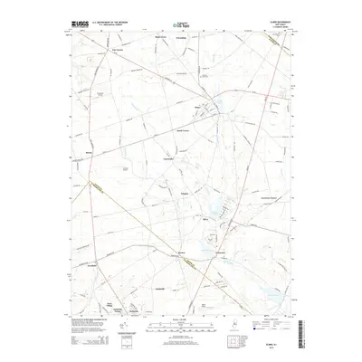
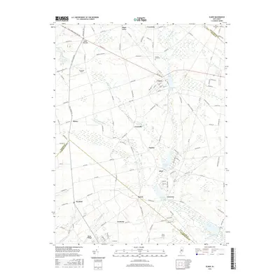
Editions of this 1953 Elmer Map
5 editions found
Historical Maps of Deerfield Through Time
6 maps found
Featured Locations
- Elk Township, NJ
- Elmer, NJ
- Pittsgrove Township, NJ
- Alloway Township, NJ
- Deerfield, Upper Deerfield Township
Source Details
SourceU.S. Geological Survey
CopyrightPublic Domain