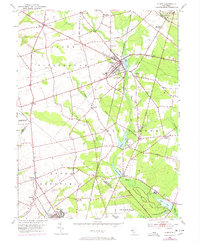
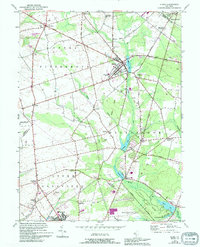
1953 Map of Elmer
USGS Topo · Published 1972About this map
The borough of Elmer sits at the nexus of several agricultural townships in Salem and Gloucester Counties, serving as a hub for the surrounding truck farms and small rural settlements. This mid-century landscape is defined by the Pennsylvania-Reading Seashore Lines corridor, which cuts through the heart of the region near Community Hospital. To the south, the industrial and residential development at Seabrook and West Village reflects the area's mid-century food processing and housing shifts.
Find a feature on this map
53 named features on this map. Tap any name to fly to it.
Don’t see what you’re looking for? This feature index may not catch every label — zoom into the map to look around manually.
Map Details
Editions of this 1953 Elmer Map
5 editions found
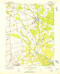
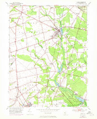
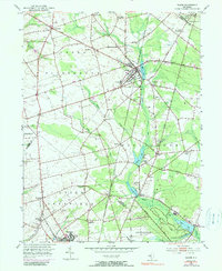
Other maps of this area

1890 · Salem
USGS Topo · 1:62,500

1890 · Bay Side
USGS Topo · 1:62,500

1890 · Bridgeton
USGS Topo · 1:62,500

1890 · Glassboro
USGS Topo · 1:62,500

1894 · Bay Side
USGS Topo · 1:62,500

1894 · Bridgeton
USGS Topo · 1:62,500

1898 · Salem
USGS Topo · 1:62,500

1898 · Glassboro
USGS Topo · 1:62,500

1899 · Vineland
USGS Topo · 1:125,000

1901 · Camden
USGS Topo · 1:125,000
Featured Places
- Deerfield, Upper Deerfield Township
- Alloway Township, NJ
- Elmer, NJ
- Pittsgrove Township, NJ
- Elk Township, NJ