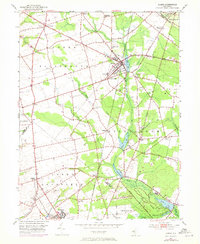
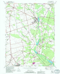
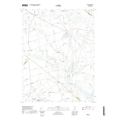
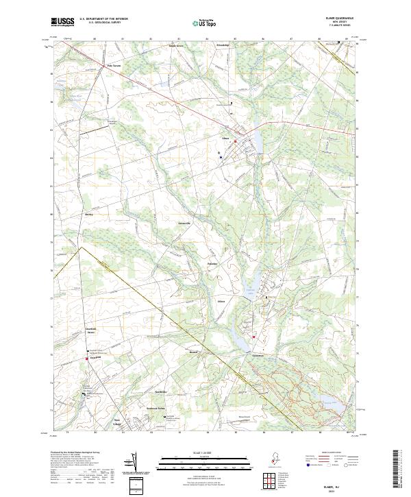
1953 Map of Elmer
USGS Topo · Published 1973About this map
Agricultural fields and interconnected waterways define this 1950s landscape across the intersection of Salem, Gloucester, and Cumberland counties. The borough of Elmer serves as a central hub, situated along the Pennsylvania-Reading Seashore Lines and marked by the Community Hospital and Elmer Lake. To the south, the industrial and residential footprint of Seabrook and West Village stands out near the Child Care Center, reflecting the area's mid-century development. Moving toward the boundaries, smaller settlements such as Pole Tavern, Centerton, and Deerfield Street anchor the rural crossroads.
Find a feature on this map
57 named features on this map. Tap any name to fly to it.
Don’t see what you’re looking for? This feature index may not catch every label — zoom into the map to look around manually.
Map Details
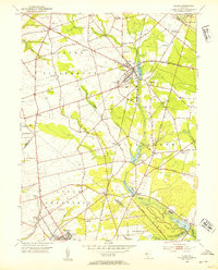
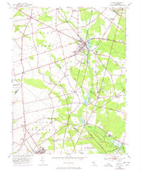
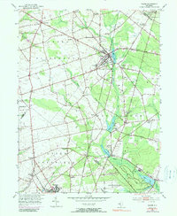
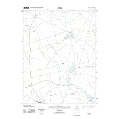
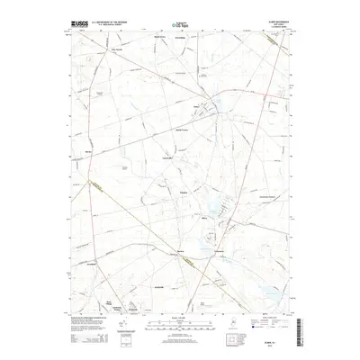
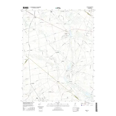
Editions of this 1953 Elmer Map
5 editions found
Historical Maps of Deerfield Through Time
6 maps found
Featured Locations
- Elk Township, NJ
- Elmer, NJ
- Pittsgrove Township, NJ
- Alloway Township, NJ
- Deerfield, Upper Deerfield Township