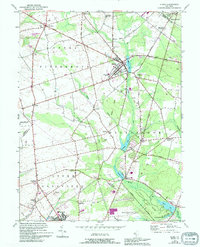
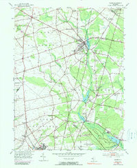
1953 Map of Elmer
USGS Topo · Published 1994About this map
Elmer serves as a central hub in this agricultural region where the borders of Salem, Gloucester, and Cumberland counties converge. The landscape is defined by the winding course of Muddy Run, which feeds into a series of managed waters including Elmer Lake, Palatine Lake, and Centerton Pond. These water bodies and the surrounding woodlands of Parvin State Park contrast with the productive fields and scattered gravel pits that supported the local economy during the mid-20th century.
Find a feature on this map
53 named features on this map. Tap any name to fly to it.
Don’t see what you’re looking for? This feature index may not catch every label — zoom into the map to look around manually.
Map Details
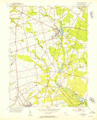
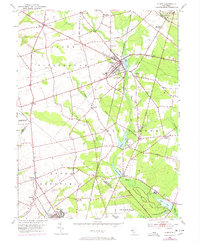
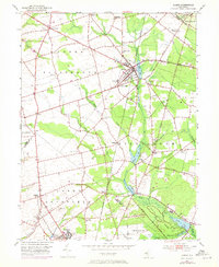
Editions of this 1953 Elmer Map
5 editions found
Other maps of this area

1890 · Salem
USGS Topo · 1:62,500

1890 · Bay Side
USGS Topo · 1:62,500

1890 · Bridgeton
USGS Topo · 1:62,500

1890 · Glassboro
USGS Topo · 1:62,500

1894 · Bay Side
USGS Topo · 1:62,500

1894 · Bridgeton
USGS Topo · 1:62,500

1898 · Salem
USGS Topo · 1:62,500

1898 · Glassboro
USGS Topo · 1:62,500

1899 · Vineland
USGS Topo · 1:125,000

1901 · Camden
USGS Topo · 1:125,000
Featured Places
- Deerfield, Upper Deerfield Township
- Alloway Township, NJ
- Elmer, NJ
- Pittsgrove Township, NJ
- Elk Township, NJ