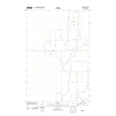
2013 Map of Elmer
USGS Topo · Published 2013About this map
The Saint Louis River snakes through this portion of Saint Louis County, defining a landscape of low-lying wetlands and meandering waterways. Near the northern reach of the river lies the small community of Elmer, a settlement concentrated near the intersection of Co Hwy-5 and Meadowlands Trunk Rd. The area’s spiritual and genealogical history is anchored by Saint Joseph Cem and Rose Hill Cem, both situated within reach of the river's eastern banks.
Find a feature on this map
33 named features on this map. Tap any name to fly to it.
Don’t see what you’re looking for? This feature index may not catch every label — zoom into the map to look around manually.
Map Details
Editions of this 2013 Elmer Map
This is the sole edition of this map. No revisions or reprints were ever made.
Other maps of this area

1953 · Brookston NW
USGS Topo · 1:24,000

1953 · Duluth
USGS Topo · 1:250,000

1954 · Hibbing
USGS Topo · 1:250,000

1957 · Hibbing
USGS Topo · 1:250,000

1958 · Hibbing
USGS Topo · 1:250,000

1958 · Duluth
USGS Topo · 1:250,000

1963 · Elmer
USGS Topo · 1:24,000

1963 · Toivola SW
USGS Topo · 1:24,000

1963 · Upstead Lake
USGS Topo · 1:24,000

1963 · Meadowlands NW
USGS Topo · 1:24,000