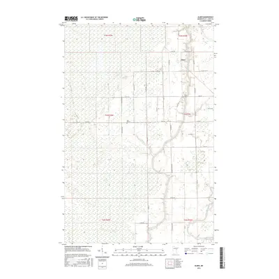
2016 Map of Elmer
USGS Topo · Published 2016About this map
The Saint Louis River and Whiteface River converge in this northern landscape, defining a region where water and wetland dominate the geography. The expansive Toivola Swamp stretches across the western sections, leaving much of the terrain undeveloped and focused on the drainages of Skunk Cr and Spider Cr. The small community of Elmer sits at a crossroads in the northeast, serving as a focal point for the surrounding rural road network.
Find a feature on this map
45 named features on this map. Tap any name to fly to it.
Don’t see what you’re looking for? This feature index may not catch every label — zoom into the map to look around manually.
Map Details
Editions of this 2016 Elmer Map
This is the sole edition of this map. No revisions or reprints were ever made.
Other maps of this area
1953 · Brookston NW
USGS Topo · 1:24,000
1953 · Duluth
USGS Topo · 1:250,000
1954 · Hibbing
USGS Topo · 1:250,000
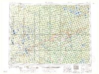
1957 · Hibbing
USGS Topo · 1:250,000
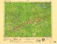
1958 · Hibbing
USGS Topo · 1:250,000
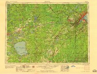
1958 · Duluth
USGS Topo · 1:250,000
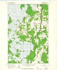
1963 · Elmer
USGS Topo · 1:24,000
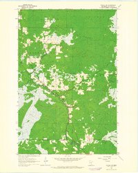
1963 · Toivola SW
USGS Topo · 1:24,000
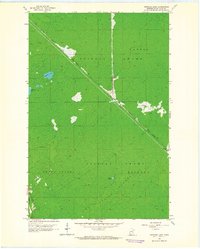
1963 · Upstead Lake
USGS Topo · 1:24,000
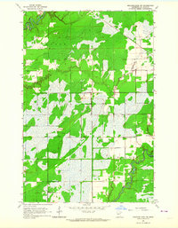
1963 · Meadowlands NW
USGS Topo · 1:24,000