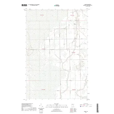
2019 Map of Elmer
USGS Topo · Published 2019About this map
The confluence of the Whiteface River and the Saint Louis River anchors this northern landscape in Saint Louis County. The settlement of Elmer sits along the upper reaches of the Saint Louis River, where the terrain is defined by the extensive Toivola Swamp and a network of small tributaries like Skunk Cr and Spider Cr. The map reveals a rural infrastructure shaped by section lines and gravel roads, such as Elmer Rd and Church Rd, which connect isolated homesteads and community landmarks. Genealogists and local historians can locate the Saint Joseph Cem near the riverbanks and Rose Hill Cem further west along Hwy 133. This 2019 survey documents the modern state of these river corridors and the enduring wetland environment that has historically influenced the settlement patterns of the region.
Find a feature on this map
43 named features on this map. Tap any name to fly to it.
Don’t see what you’re looking for? This feature index may not catch every label — zoom into the map to look around manually.
Map Details
Editions of this 2019 Elmer Map
This is the sole edition of this map. No revisions or reprints were ever made.
Other maps of this area

1953 · Brookston NW
USGS Topo · 1:24,000

1953 · Duluth
USGS Topo · 1:250,000

1954 · Hibbing
USGS Topo · 1:250,000

1957 · Hibbing
USGS Topo · 1:250,000

1958 · Hibbing
USGS Topo · 1:250,000

1958 · Duluth
USGS Topo · 1:250,000

1963 · Elmer
USGS Topo · 1:24,000

1963 · Toivola SW
USGS Topo · 1:24,000

1963 · Upstead Lake
USGS Topo · 1:24,000

1963 · Meadowlands NW
USGS Topo · 1:24,000