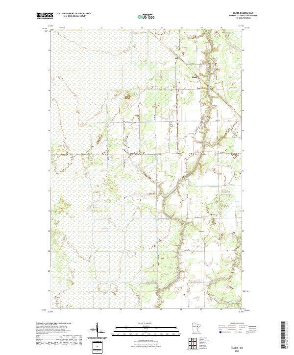
2022 Map of Elmer
USGS Topo · Published 2022About this map
Elmer sits at the intersection of the St. Louis River and the historical rail corridor now designated as the Alborn-Pengilly Railroad Trail. This corner of St. Louis County is defined by the vast wetlands of the Toivola Swamp, which covers much of the western portion of the map. The landscape reflects a transition from early 20th-century transportation to modern conservation, where the former rail line that once served the iron range or timber industry now serves as a recreational trail. Local genealogy and history are preserved at the Saint Joseph's Cem and Rose Hill Cem, both situated near the river's winding path. In the south, the confluence of the Whiteface River and Spider Cr adds to the complex hydrology of this low-lying region.
Find a feature on this map
47 named features on this map. Tap any name to fly to it.
Don’t see what you’re looking for? This feature index may not catch every label — zoom into the map to look around manually.
Map Details
Editions of this 2022 Elmer Map
This is the sole edition of this map. No revisions or reprints were ever made.
Other maps of this area

1953 · Brookston NW
USGS Topo · 1:24,000

1953 · Duluth
USGS Topo · 1:250,000

1954 · Hibbing
USGS Topo · 1:250,000

1957 · Hibbing
USGS Topo · 1:250,000

1958 · Hibbing
USGS Topo · 1:250,000

1958 · Duluth
USGS Topo · 1:250,000

1963 · Elmer
USGS Topo · 1:24,000

1963 · Toivola SW
USGS Topo · 1:24,000

1963 · Upstead Lake
USGS Topo · 1:24,000

1963 · Meadowlands NW
USGS Topo · 1:24,000