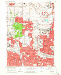
1963 Map of Elmhurst
USGS Topo · Published 1964About this map
Chicago O'Hare International Airport dominates the northeast corner of this suburban landscape, showing early radio facilities and terminals before decades of expansion. The surrounding area in the early 1960s reveals a dense network of Cook and DuPage County residential growth, punctuated by significant religious and educational institutions like the Mater Dolorosa Seminary and York High School. Transport corridors such as the Illinois State Tollway and the Chicago and North Western railroad define the boundaries between established towns like Elmhurst and Bensenville. Local history is preserved in numerous burial grounds, including the Old Settlers Cemetery and the sprawling Mt Emblem Cemetery, while the winding course of Salt Creek provides a natural break in the suburban grid. Smaller settlements like Churchville and the emerging North Lake illustrate the post-war transition of rural land into the Chicago metropolitan fringe.
Find a feature on this map
62 named features on this map. Tap any name to fly to it.
Don’t see what you’re looking for? This feature index may not catch every label — zoom into the map to look around manually.
Map Details
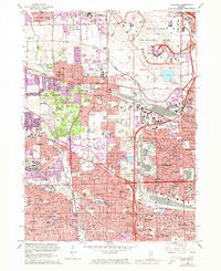
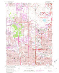
Editions of this 1963 Elmhurst Map
3 editions found
Other maps of this area

1891 · Riverside
USGS Topo · 1:62,500

1893 · Riverside
USGS Topo · 1:62,500

1900 · Riverside
USGS Topo · 1:62,500

1900 · Highwood
USGS Topo · 1:62,500

1901 · Riverside
USGS Topo · 1:62,500

1908 · Wheaton
USGS Topo · 1:62,500

1923 · Barrington
USGS Topo · 1:62,500
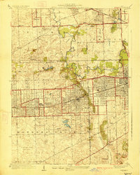
1927 · Hinsdale
USGS Topo · 1:24,000

1927 · Arlington Heights
USGS Topo · 1:24,000

1928 · Elmhurst
USGS Topo · 1:24,000