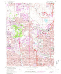
1963 Map of Elmhurst
USGS Topo · Published 1981About this map
The Chicago O'Hare International Airport anchors the northeastern corner of this suburban landscape, showing a complex of runways and radio facilities at the junction of Maine and Leyden townships. This 1963 survey, photorevised in 1980, captures the intensive mid-century residential expansion between the Cook and DuPage county line. The western half of the map is defined by the winding course of Salt Creek, which is flanked by the Elk Grove and Addison Forest Preserve.
Find a feature on this map
99 named features on this map. Tap any name to fly to it.
Don’t see what you’re looking for? This feature index may not catch every label — zoom into the map to look around manually.
Map Details
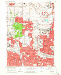
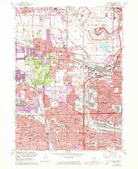
Editions of this 1963 Elmhurst Map
3 editions found
Other maps of this area

1891 · Riverside
USGS Topo · 1:62,500

1893 · Riverside
USGS Topo · 1:62,500

1900 · Riverside
USGS Topo · 1:62,500

1900 · Highwood
USGS Topo · 1:62,500

1901 · Riverside
USGS Topo · 1:62,500

1908 · Wheaton
USGS Topo · 1:62,500

1923 · Barrington
USGS Topo · 1:62,500
1927 · Hinsdale
USGS Topo · 1:24,000

1927 · Arlington Heights
USGS Topo · 1:24,000

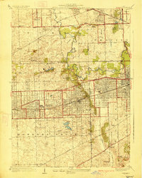
1928 · Elmhurst
USGS Topo · 1:24,000