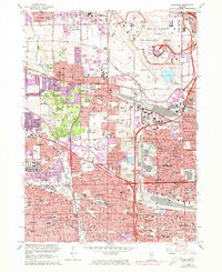
1963 Map of Elmhurst
USGS Topo · Published 1973About this map
Chicago O'Hare International Airport dominates the northeastern corner of this DuPage and Cook County landscape, capturing a transformative period of post-war suburbanization. The sheet records the dense expansion of residential grids in Elmhurst, Bensenville, and Villa Park, intertwined with a complex network of transportation including the Tri-State Tollway and several rail lines such as the Chicago and North Western. This era of growth is balanced by a significant presence of institutional and memorial grounds, from Elmhurst College to a series of large cemeteries like Mt Emblem Cemetery and Arlington Cemetery. The persistence of greenspace is visible in the Forest Preserve along Salt Creek, even as industrial sites like a Quarry and various golf clubs such as Elmhurst Country Club occupy the gaps between growing residential clusters.
Find a feature on this map
98 named features on this map. Tap any name to fly to it.
Don’t see what you’re looking for? This feature index may not catch every label — zoom into the map to look around manually.
Map Details
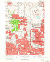
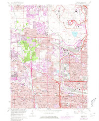
Editions of this 1963 Elmhurst Map
3 editions found
Other maps of this area

1891 · Riverside
USGS Topo · 1:62,500

1893 · Riverside
USGS Topo · 1:62,500

1900 · Riverside
USGS Topo · 1:62,500

1900 · Highwood
USGS Topo · 1:62,500

1901 · Riverside
USGS Topo · 1:62,500

1908 · Wheaton
USGS Topo · 1:62,500

1923 · Barrington
USGS Topo · 1:62,500
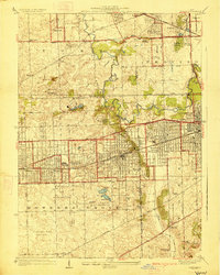
1927 · Hinsdale
USGS Topo · 1:24,000

1927 · Arlington Heights
USGS Topo · 1:24,000

1928 · Elmhurst
USGS Topo · 1:24,000