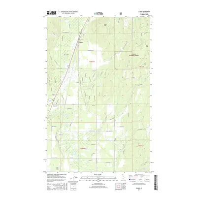
2017 Map of Elmira
USGS Topo · Published 2017About this map
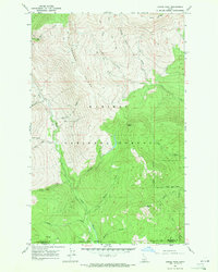
Elmira and Samuels serve as the primary hubs in this north Idaho landscape, where the Burlington Northern Santa Fe corridor parallels the main thoroughfare through a valley defined by the Pack River and Deep Cr. The map documents a blend of rural settlement and managed timberlands within the Kaniksu National Forest, with roads like Old Mill Rd and Reload Rd hinting at the area's industrial history. Local landmarks such as Samuels Ch and the Gold Creek Cem provide essential anchor points for genealogical research, while the Spear Valley Airport sits in the southwestern corner. Higher elevations are marked by Elmira Peak and Sand Ridge, overlooking a series of small water bodies including Walsh Lake, Bloom Lake, and Dennick Lake.
Find a feature on this map
92 named features on this map. Tap any name to fly to it.
Don’t see what you’re looking for? This feature index may not catch every label — zoom into the map to look around manually.
Map Details
Editions of this 2017 Elmira Map
This is the sole edition of this map. No revisions or reprints were ever made.
Other maps of this area
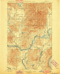
1901 · Sandpoint
USGS Topo · 1:125,000
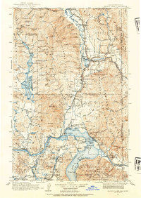
1911 · Priest Lake
USGS Topo · 1:250,000
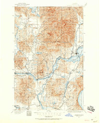
1911 · Sandpoint
USGS Topo · 1:125,000
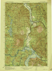
1913 · Priest Lake
USGS Topo · 1:250,000
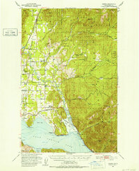
1951 · Elmira
USGS Topo · 1:62,500

1958 · Sandpoint
USGS Topo · 1:250,000

1963 · Sandpoint
USGS Topo · 1:250,000
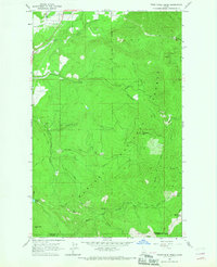
1965 · Twentymile Creek
USGS Topo · 1:24,000
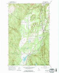
1965 · Naples
USGS Topo · 1:24,000
1967 · Dodge Peak
USGS Topo · 1:24,000