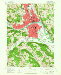
1953 Map of Elmira
USGS Topo · Published 1965About this map
Elmira and its surrounding river valley are captured here just after the post-war expansion, showing a landscape defined by an extensive rail network and industrial centers. The Chemung River cuts through the heart of the city, flanked by the Erie RR and the Lehigh Valley RR, which facilitated the region's growth as a manufacturing hub. Notable institutional landmarks are prominently featured, including the Elmira Reformatory and Elmira College, reflecting the area's established social and educational infrastructure.
Find a feature on this map
95 named features on this map. Tap any name to fly to it.
Don’t see what you’re looking for? This feature index may not catch every label — zoom into the map to look around manually.
Map Details
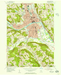
Editions of this 1953 Elmira Map
2 editions found
Other maps of this area

1895 · Elmira
USGS Topo · 1:62,500

1902 · Waverly
USGS Topo · 1:62,500

1905 · Watkins Glen
USGS Topo · 1:125,000

1931 · Troy
USGS Topo · 1:48,000

1938 · Troy
USGS Topo · 1:62,500

1939 · Sayre
USGS Topo · 1:62,500

1942 · Sayre
USGS Topo · 1:62,500

1948 · Sayre
USGS Topo · 1:62,500

1950 · Elmira
USGS Topo · 1:250,000
1953 · Horseheads
USGS Topo · 1:24,000