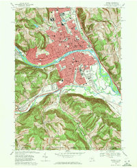
1969 Map of Elmira
USGS Topo · Published 1971About this map
The Chemung River divides the urban landscape of Elmira, where industrial rail corridors and dense residential neighborhoods met in the late 1960s. This survey details a city defined by significant institutional footprints, from the sprawling grounds of the Elmira Reformatory and Elmira College to medical landmarks like Arnot Ogden Hospital. The map serves as a vital genealogical resource, documenting numerous parochial institutions such as St Marys Sch and SS Peter and Paul (Cath), alongside extensive burial grounds including Woodlawn National Cem and the Catholic Cem.
Find a feature on this map
78 named features on this map. Tap any name to fly to it.
Don’t see what you’re looking for? This feature index may not catch every label — zoom into the map to look around manually.
Map Details
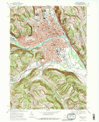
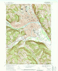
Editions of this 1969 Elmira Map
Other maps of this area

1895 · Elmira
USGS Topo · 1:62,500

1902 · Waverly
USGS Topo · 1:62,500

1905 · Watkins Glen
USGS Topo · 1:125,000

1931 · Troy
USGS Topo · 1:48,000

1938 · Troy
USGS Topo · 1:62,500

1939 · Sayre
USGS Topo · 1:62,500

1942 · Sayre
USGS Topo · 1:62,500

1948 · Sayre
USGS Topo · 1:62,500

1950 · Elmira
USGS Topo · 1:250,000
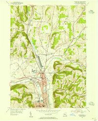
1953 · Horseheads
USGS Topo · 1:24,000