
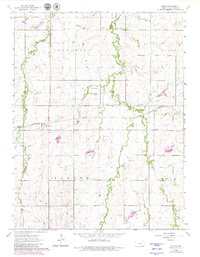
1964 Map of Elmo
USGS Topo · Published 1965About this map
Missouri Pacific rail lines dominate the landscape of central Kansas in this mid-1960s study, passing through the small community of Elmo and the neighboring siding at Dillon. The terrain is defined by the branching tributaries of Turkey Creek, including the West Branch and East Turkey Creek, which carve through the high ground of Jefferson Ridge.
Find a feature on this map
15 named features on this map. Tap any name to fly to it.
Don’t see what you’re looking for? This feature index may not catch every label — zoom into the map to look around manually.
Map Details
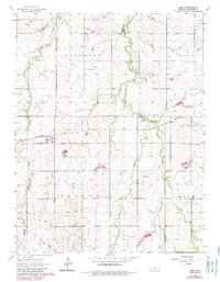
Editions of this 1964 Elmo Map
3 editions found
Other maps of this area

1889 · Abilene
USGS Topo · 1:125,000

1894 · Abilene
USGS Topo · 1:125,000

1955 · Hutchinson
USGS Topo · 1:250,000

1959 · Hutchinson
USGS Topo · 1:250,000

1963 · Abilene SW
USGS Topo · 1:24,000
1963 · Holland
USGS Topo · 1:24,000

1964 · Carlton
USGS Topo · 1:24,000

1964 · Ramona
USGS Topo · 1:24,000

1964 · Navarre
USGS Topo · 1:24,000
1964 · Hope
USGS Topo · 1:24,000