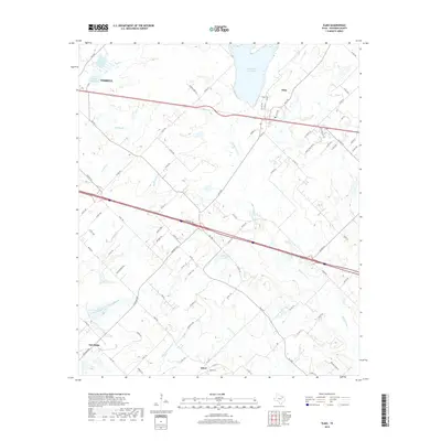
2019 Map of Elmo
USGS Topo · Published 2019About this map
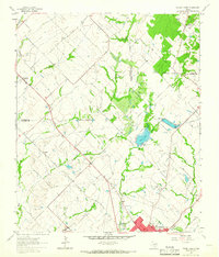
Terrell and its eastern surroundings are anchored by a sophisticated network of water management and local road systems in this contemporary 2019 survey. The landscape is defined by the significant reservoirs of New Terrell City Lake and Old Terrell City Lake, which dominate the northern terrain alongside the winding course of Walnut Creek. To the east, the settlement of Elmo sits near the Elmo Cemetery, while the southern reaches of the map highlight smaller communities like Abner and Oak Ridge. The area's hydrology is particularly intricate, with Muddy Cedar Creek and Eagans Branch carving through the countryside. This modern topographic record captures the blend of municipal infrastructure and rural land use, showing how legacy settlements and family-named roads like Kaufman Road and Arner Road persist amid the growing utility of the Kaufman County landscape.
Find a feature on this map
88 named features on this map. Tap any name to fly to it.
Don’t see what you’re looking for? This feature index may not catch every label — zoom into the map to look around manually.
Map Details
Editions of this 2019 Elmo Map
This is the sole edition of this map. No revisions or reprints were ever made.
Other maps of this area
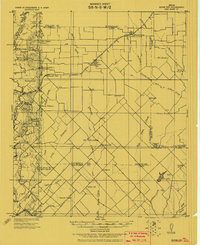
1919 · Royse City
USGS Topo · 1:62,500

1954 · Dallas
USGS Topo · 1:250,000
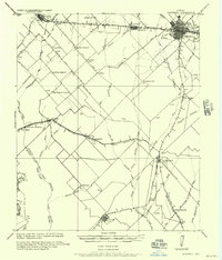
1956 · Kaufman
USGS Topo · 1:62,500
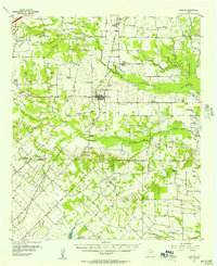
1956 · Quinlan
USGS Topo · 1:62,500

1958 · Dallas
USGS Topo · 1:250,000
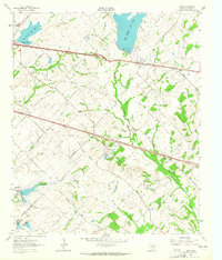
1962 · Elmo
USGS Topo · 1:24,000
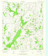
1962 · Cedarvale
USGS Topo · 1:24,000
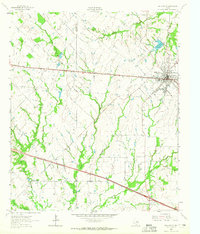
1962 · Wills Point
USGS Topo · 1:24,000
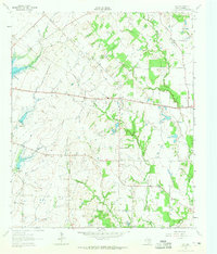
1962 · Ola
USGS Topo · 1:24,000
1962 · Terrell North
USGS Topo · 1:24,000