2022 Map of Elmo
USGS Topo · Published 2022About this map
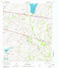
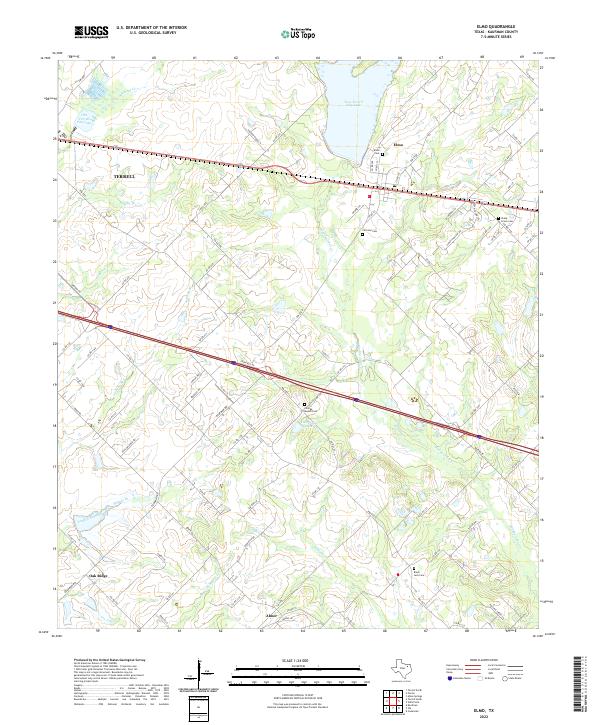
Terrell and the surrounding Kaufman County countryside are defined by a network of creeks and small family cemeteries that trace the region's agricultural past. Flowing from the north, New Terrell City Lake and Old Terrell City Lake manage the drainage of Walnut Cr and Hardin Br, while Muddy Cedar Cr winds south toward the community of Abner. The landscape is dotted with ancestral burial grounds, including Fairview Cem and the Shady Grove Cem, which serve as vital markers for local genealogists and historians.
Find a feature on this map
93 named features on this map. Tap any name to fly to it.
Don’t see what you’re looking for? This feature index may not catch every label — zoom into the map to look around manually.
Map Details
Editions of this 2022 Elmo Map
This is the sole edition of this map. No revisions or reprints were ever made.