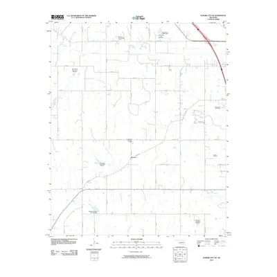
2010 Map of Elmore City NE
USGS Topo · Published 2010About this map
McCarty sits at the center of this rural Oklahoma landscape, defined by a complex network of water management and agricultural grid roads. The area's topography is shaped by the drainage systems of Rush Creek, Sandy Creek, and Red Branch, which are heavily modified by numerous soil conservation structures. Notable among these are the Wildhorse Creek Site 118 Dam, Wildhorse Creek Site 119 Dam, and several dams named for local families, such as the Shamley Gss Number 1 Dam and the Temple Gss Number 1 Dam.
Find a feature on this map
28 named features on this map. Tap any name to fly to it.
Don’t see what you’re looking for? This feature index may not catch every label — zoom into the map to look around manually.
Map Details
Editions of this 2010 Elmore City NE Map
This is the sole edition of this map. No revisions or reprints were ever made.
Other maps of this area

1898 · Pauls Valley
USGS Topo · 1:125,000

1902 · Pauls Valley
USGS Topo · 1:125,000

1957 · Ardmore
USGS Topo · 1:250,000

1963 · Ardmore
USGS Topo · 1:250,000

1965 · Byars SW
USGS Topo · 1:24,000

1965 · Pauls Valley
USGS Topo · 1:24,000

1965 · Maysville
USGS Topo · 1:24,000

1965 · Joy
USGS Topo · 1:24,000

1965 · Paoli
USGS Topo · 1:24,000

1969 · Hennepin
USGS Topo · 1:24,000