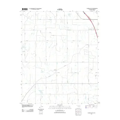
2012 Map of Elmore City NE
USGS Topo · Published 2012About this map
McCarty sits near the center of this 2012 survey, situated within the agricultural and flood-management landscape of Garvin County. The terrain is defined by a series of water management projects, most notably the Rush Creek Site 39 Reservoir and the Wildhorse Creek Site 118 Reservoir, which serve the local watershed along Rush Cr and Sandy Cr. These reservoirs characterize the modern development of this rural region, where traditional section-line roads like Old Antioch Rd and Klondike Rd provide the primary infrastructure for the surrounding farms. For those researching family ties, the Klondike Cem remains a significant local landmark in the eastern portion of the quadrangle. The map reveals a transition in naming conventions and land use, from the small community at McCarty to the newer residential naming patterns found along W Royal Oaks Rd and Westwood Dr near the Interstate 35 corridor.
Find a feature on this map
38 named features on this map. Tap any name to fly to it.
Don’t see what you’re looking for? This feature index may not catch every label — zoom into the map to look around manually.
Map Details
Editions of this 2012 Elmore City NE Map
This is the sole edition of this map. No revisions or reprints were ever made.
Other maps of this area

1898 · Pauls Valley
USGS Topo · 1:125,000

1902 · Pauls Valley
USGS Topo · 1:125,000

1957 · Ardmore
USGS Topo · 1:250,000

1963 · Ardmore
USGS Topo · 1:250,000

1965 · Byars SW
USGS Topo · 1:24,000

1965 · Pauls Valley
USGS Topo · 1:24,000

1965 · Maysville
USGS Topo · 1:24,000

1965 · Joy
USGS Topo · 1:24,000

1965 · Paoli
USGS Topo · 1:24,000

1969 · Hennepin
USGS Topo · 1:24,000