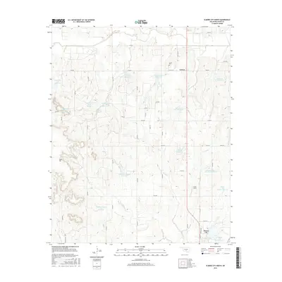
2016 Map of Elmore City North
USGS Topo · Published 2016About this map
Antioch and the northern outskirts of Elmore City anchor this Oklahoma landscape, which is defined by an extensive system of water conservation and flood control structures. The terrain is notably marked by numerous engineered impoundments such as the Richardson Gss Number 1 Reservoir, Hill Gss Number 1 Reservoir, and various sites along Rush Cr and Wildhorse Creek. These reservoirs, often bearing the names of local residents or specific site numbers, reflect a mid-to-late 20th-century approach to managing the watershed across the undulating plains.
Find a feature on this map
43 named features on this map. Tap any name to fly to it.
Don’t see what you’re looking for? This feature index may not catch every label — zoom into the map to look around manually.
Map Details
Editions of this 2016 Elmore City North Map
This is the sole edition of this map. No revisions or reprints were ever made.
Other maps of this area
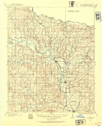
1898 · Pauls Valley
USGS Topo · 1:125,000
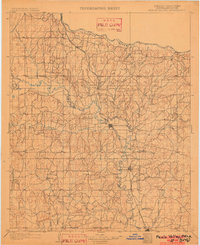
1902 · Pauls Valley
USGS Topo · 1:125,000
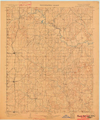
1902 · Rush Springs
USGS Topo · 1:125,000
1957 · Ardmore
USGS Topo · 1:250,000
1963 · Ardmore
USGS Topo · 1:250,000
1965 · Maysville
USGS Topo · 1:24,000
1965 · Paoli
USGS Topo · 1:24,000
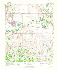
1966 · Lindsay
USGS Topo · 1:24,000
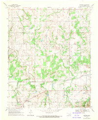
1969 · Hennepin
USGS Topo · 1:24,000
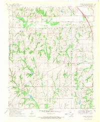
1969 · Elmore City NE
USGS Topo · 1:24,000