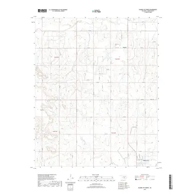
2018 Map of Elmore City North
USGS Topo · Published 2018About this map
Antioch and the northern edge of Elmore City anchor this Garvin County landscape, where the terrain is defined by a dense network of creek drainages. The northern reaches are dominated by the flow of Rush Cr, while Panther Cr, E Rock Cr, and W Rock Cr carve through the central and southern sections. This 2018 survey reveals a rural Oklahoma grid system where sectional roads like E1600 Rd and Liberty Rd connect isolated homesteads and local infrastructure. Genealogists will find the Antioch Cem near the town site of Antioch, providing a specific point of reference for local family history. Notable landmarks include the Table Hill elevation in the west and Mckey Airport to the east, illustrating the mix of natural topography and aviation footprints in the region.
Find a feature on this map
28 named features on this map. Tap any name to fly to it.
Don’t see what you’re looking for? This feature index may not catch every label — zoom into the map to look around manually.
Map Details
Editions of this 2018 Elmore City North Map
This is the sole edition of this map. No revisions or reprints were ever made.
Other maps of this area
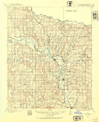
1898 · Pauls Valley
USGS Topo · 1:125,000
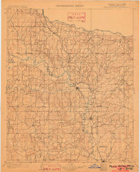
1902 · Pauls Valley
USGS Topo · 1:125,000
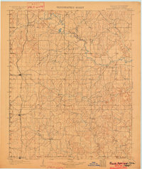
1902 · Rush Springs
USGS Topo · 1:125,000
1957 · Ardmore
USGS Topo · 1:250,000
1963 · Ardmore
USGS Topo · 1:250,000
1965 · Maysville
USGS Topo · 1:24,000
1965 · Paoli
USGS Topo · 1:24,000
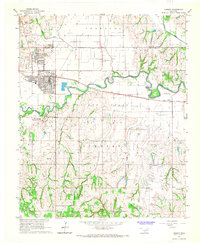
1966 · Lindsay
USGS Topo · 1:24,000
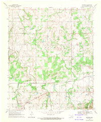
1969 · Hennepin
USGS Topo · 1:24,000
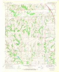
1969 · Elmore City NE
USGS Topo · 1:24,000