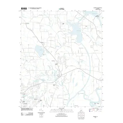
2011 Map of Elmore
USGS Topo · Published 2011About this map
The Coosa River and Tallapoosa River converge in this central Alabama landscape, dominated by the reservoir waters of Mitchell Lake and Speigner Lake. The 2011 survey records the intersection of industrial water management and deep cultural history, with the Speigner Dam and Walter Bouldin Dam controlling the flow near the ancient Taskigi Mound. The topography is marked by several distinct residential clusters and rural crossroads, including Speigner, North Elmore, and the core settlement at Elmore, where the Elmore Post Office serves the local community.
Find a feature on this map
155 named features on this map. Tap any name to fly to it.
Don’t see what you’re looking for? This feature index may not catch every label — zoom into the map to look around manually.
Map Details
Editions of this 2011 Elmore Map
This is the sole edition of this map. No revisions or reprints were ever made.
Other maps of this area

1901 · Wetumpka
USGS Topo · 1:125,000
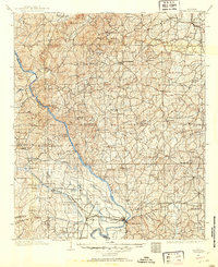
1901 · Wetumpka
USGS Topo · 1:62,500

1903 · Wetumpka
USGS Topo · 1:125,000
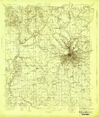
1927 · Montgomery
USGS Topo · 1:48,000
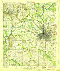
1930 · Montgomery
USGS Topo · 1:62,500

1953 · Montgomery
USGS Topo · 1:250,000

1956 · Montgomery
USGS Topo · 1:250,000

1957 · Montgomery
USGS Topo · 1:250,000
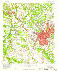
1958 · Montgomery
USGS Topo · 1:62,500
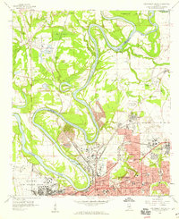
1958 · Montgomery North
USGS Topo · 1:24,000