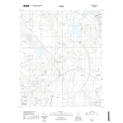
2020 Map of Elmore
USGS Topo · Published 2020About this map
Millbrook and Coosada anchor the southern portion of this Alabama landscape, where the Coosa River winds south towards its junction with the Tallapoosa. This modern 2020 survey illustrates a region defined by its hydrography and historic landmarks, notably the Taskigi Mound situated near the river’s bend. To the north, the terrain rises toward Adkin Hill and the waters of Mitchell Lake, while the central corridor is marked by the settlements of Elmore and North Elmore.
Find a feature on this map
46 named features on this map. Tap any name to fly to it.
Don’t see what you’re looking for? This feature index may not catch every label — zoom into the map to look around manually.
Map Details
Editions of this 2020 Elmore Map
This is the sole edition of this map. No revisions or reprints were ever made.
Other maps of this area

1901 · Wetumpka
USGS Topo · 1:125,000

1901 · Wetumpka
USGS Topo · 1:62,500

1903 · Wetumpka
USGS Topo · 1:125,000

1927 · Montgomery
USGS Topo · 1:48,000

1930 · Montgomery
USGS Topo · 1:62,500

1953 · Montgomery
USGS Topo · 1:250,000

1956 · Montgomery
USGS Topo · 1:250,000

1957 · Montgomery
USGS Topo · 1:250,000

1958 · Montgomery
USGS Topo · 1:62,500

1958 · Montgomery North
USGS Topo · 1:24,000