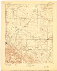
1897 Map of Elmoro
USGS Topo · Published 1897About this map
The regional hub of Trinidad serves as the focal point for this late nineteenth-century survey, situated at the crossroads of the Atchison Topeka and Santa Fe R. R. and the Union Pacific Denver and Gulf R. R. The landscape is defined by the canyon-carving Purgatory River and the sharp elevation of Fishers Peak. To the south, the massive Maxwell Grant boundary indicates the enduring influence of Spanish and Mexican land grants on territorial organization.
Find a feature on this map
50 named features on this map. Tap any name to fly to it.
Don’t see what you’re looking for? This feature index may not catch every label — zoom into the map to look around manually.
Map Details
Editions of this 1897 Elmoro Map
5 editions found

Other maps of this area

1891 · Walsenburg
USGS Topo · 1:125,000

1891 · Spanish Peaks
USGS Topo · 1:125,000

1891 · Timpas
USGS Topo · 1:125,000

1891 · Apishapa
USGS Topo · 1:125,000

1891 · Mesa De Maya
USGS Topo · 1:125,000

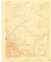
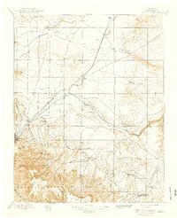
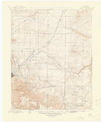
1892 · Elmoro
USGS Topo · 1:125,000

1893 · Spanish Peaks
USGS Topo · 1:125,000

1893 · Apishapa
USGS Topo · 1:125,000

1893 · Elmoro
USGS Topo · 1:125,000

1893 · Mesa de Maya
USGS Topo · 1:125,000