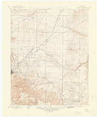
1897 Map of Elmoro
USGS Topo · Published 1949About this map
The high plains and rugged mesas of Las Animas County meet at the hub of Trinidad, where the confluence of major rail systems dictated the economy of the late 19th century. This reconnaissance survey documents the convergence of the Atchison Topeka and Santa Fe R. R., the Denver and Rio Grande R. R., and the Colorado and Southern R. R., which served the coal-rich foothills and burgeoning settlements. Significant territorial history is evident in the sprawling southern boundary of the Maxwell Grant, which dominates the landscape near Fishers Peak. Beyond the industrial centers of Elmoro and Engle, the map traces rural life through remote sites like the Brazil P.O. Trinchera Plaza and small creek-side settlements such as Barela and Trinchera. The terrain is deeply incised by the Purgatoire River and the Apishapa River, illustrating the complex drainage patterns of this high-elevation region.
Find a feature on this map
54 named features on this map. Tap any name to fly to it.
Don’t see what you’re looking for? This feature index may not catch every label — zoom into the map to look around manually.
Map Details
Editions of this 1897 Elmoro Map
5 editions found

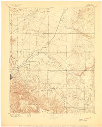
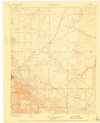
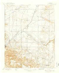
Other maps of this area

1891 · Walsenburg
USGS Topo · 1:125,000

1891 · Spanish Peaks
USGS Topo · 1:125,000

1891 · Timpas
USGS Topo · 1:125,000

1891 · Apishapa
USGS Topo · 1:125,000

1891 · Mesa De Maya
USGS Topo · 1:125,000

1892 · Elmoro
USGS Topo · 1:125,000

1893 · Spanish Peaks
USGS Topo · 1:125,000

1893 · Apishapa
USGS Topo · 1:125,000

1893 · Elmoro
USGS Topo · 1:125,000

1893 · Mesa de Maya
USGS Topo · 1:125,000