
1897 Map of Elmoro
USGS Topo · Published 1897About this map
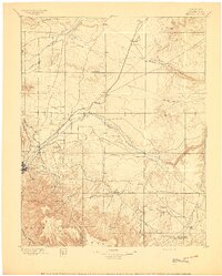
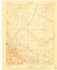
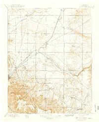
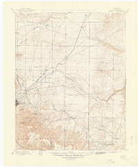
The Trinidad region at the close of the 19th century was a critical rail junction where the Union Pacific Denver & Gulf R.R. and the Atchison Topeka and Santa Fe R.R. converged. This map details the transition from the high plains to the foothills of the southern Rockies, featuring the expansive Maxwell Grant and the prominent landmark of Fishers Peak. The settlement pattern follows the Purgatory River and Apishapa River valleys, where small communities like Hoehne and Elmoro supported the area's early agricultural and industrial development. To the south, the terrain rises sharply toward the Mesa de Maya, with names like Brazil P.O. and Trinchera Plaza indicating the early post offices and plazas that served ranching families in the canyon country near the New Mexico border.
Find a feature on this map
55 named features on this map. Tap any name to fly to it.
Don’t see what you’re looking for? This feature index may not catch every label — zoom into the map to look around manually.
Map Details
Editions of this 1897 Elmoro Map
5 editions found
Other maps of this area

1891 · Walsenburg
USGS Topo · 1:125,000

1891 · Spanish Peaks
USGS Topo · 1:125,000

1891 · Timpas
USGS Topo · 1:125,000

1891 · Apishapa
USGS Topo · 1:125,000

1891 · Mesa De Maya
USGS Topo · 1:125,000

1892 · Elmoro
USGS Topo · 1:125,000

1893 · Spanish Peaks
USGS Topo · 1:125,000

1893 · Apishapa
USGS Topo · 1:125,000

1893 · Elmoro
USGS Topo · 1:125,000

1893 · Mesa de Maya
USGS Topo · 1:125,000