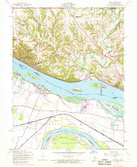
1954 Map of Elsah
USGS Topo · Published 1969About this map
The confluence of the Mississippi River and Missouri River systems defines this riverfront landscape at a time of significant transitions in the 1950s and 1960s. Principia College and the village of Elsah sit atop the bluffs, overlooking Elsah Bar and the widening waters. To the south, across Portage Island, the Missouri-side settlement of Portage Des Sioux is clearly marked alongside the St Francis Cem. The map illustrates the era’s infrastructure, including the Great River Road and the Burlington Chicago and Quincy railroad lines that trace the riverbank.
Find a feature on this map
48 named features on this map. Tap any name to fly to it.
Don’t see what you’re looking for? This feature index may not catch every label — zoom into the map to look around manually.
Map Details
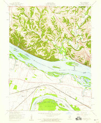
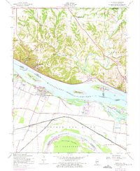
Editions of this 1954 Elsah Map
3 editions found
Other maps of this area

1924 · Robertson
USGS Topo · 1:24,000

1925 · Brighton
USGS Topo · 1:62,500

1927 · Alton
USGS Topo · 1:62,500

1927 · St. Charles
USGS Topo · 1:62,500

1928 · Brighton
USGS Topo · 1:62,500

1930 · Jerseyville
USGS Topo · 1:62,500

1933 · Jerseyville
USGS Topo · 1:62,500

1933 · Saint Charles
USGS Topo · 1:62,500

1934 · Alton
USGS Topo · 1:62,500

1935 · Florissant
USGS Topo · 1:24,000