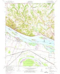
1954 Map of Elsah
USGS Topo · Published 1975About this map
Portage Des Sioux and Elsah anchor the high bluffs and river bottoms where the Mississippi River and Missouri River converge. This mid-century survey reveals a landscape shaped by river transport and education, dominated by the campus of Principia College overlooking the water. The Illinois shoreline features the scenic McAdams Highway winding past Elsah Bar, while the Missouri side is characterized by expansive floodplains and the tracks of the Burlington Northern. Rural life is evidenced by the Independence Sch and the clustered settlements of Beltrees and Clifton Terrace. Large river islands like Portage Island and Dresser Island fragment the channel, showing the complex hydrology of the reach. Notable landmarks include the St Francis Cem and various river-related infrastructure such as the Powerplant and multiple levees designed to manage the seasonal flows of the great river system.
Find a feature on this map
53 named features on this map. Tap any name to fly to it.
Don’t see what you’re looking for? This feature index may not catch every label — zoom into the map to look around manually.
Map Details
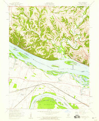
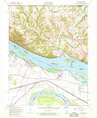
Editions of this 1954 Elsah Map
3 editions found
Other maps of this area

1924 · Robertson
USGS Topo · 1:24,000

1925 · Brighton
USGS Topo · 1:62,500

1927 · Alton
USGS Topo · 1:62,500

1927 · St. Charles
USGS Topo · 1:62,500

1928 · Brighton
USGS Topo · 1:62,500

1930 · Jerseyville
USGS Topo · 1:62,500

1933 · Jerseyville
USGS Topo · 1:62,500

1933 · Saint Charles
USGS Topo · 1:62,500

1934 · Alton
USGS Topo · 1:62,500

1935 · Florissant
USGS Topo · 1:24,000