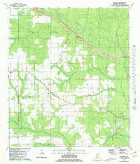
1980 Map of Elsanor
USGS Topo · Published 1981About this map
Elsanor and its surrounding countryside are defined by the winding paths of the Styx River and the Blackwater River, which carve through the south Alabama piney woods. In the early 1980s, this area of Baldwin County maintained a rural character focused on small community centers like Taylors Camp and family-named landmarks. The map documents several local spiritual and civic pillars, including St Matthew Ch, Greenwood Ch, and Elsanor Sch, alongside the Greek Cem and Oak Grove Cem.
Find a feature on this map
26 named features on this map. Tap any name to fly to it.
Don’t see what you’re looking for? This feature index may not catch every label — zoom into the map to look around manually.
Map Details
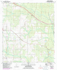
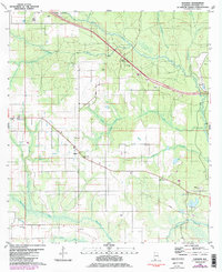
Editions of this 1980 Elsanor Map
3 editions found
Other maps of this area

1920 · Robertsdale
USGS Topo · 1:62,500

1921 · Bon Secour
USGS Topo · 1:62,500

1921 · Fort Barrancas
USGS Topo · 1:62,500

1921 · Muscogee
USGS Topo · 1:62,500

1941 · Fort Barrancas
USGS Topo · 1:62,500

1941 · Muscogee
USGS Topo · 1:62,500

1941 · Robertsdale
USGS Topo · 1:62,500

1941 · Foley
USGS Topo · 1:62,500

1943 · Robertsdale
USGS Topo · 1:62,500

1943 · Muscogee
USGS Topo · 1:62,500