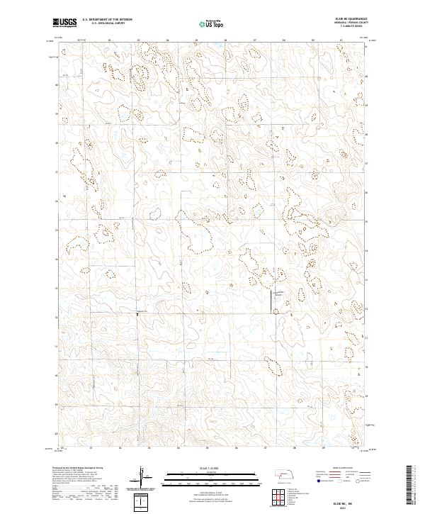
2021 Map of Elsie NE
USGS Topo · Published 2021About this map
The rolling plains of Perkins County define this corner of Nebraska, where the section lines of the Public Land Survey System have shaped a precise grid of rural transport. The central hub for local history in this area is Walpole Cem, situated along the Paxton-Elsie Rd. This roadway serves as a primary north-south artery connecting the agricultural landscape. The map reveals the modern infrastructure of the High Plains, including the private Coppersmith Airport tucked among the fields near Rd 351. The terrain is characterized by numerous small depressions and drainage patterns typical of this semi-arid region, with a network of local routes such as Road E and Rd 764 facilitating movement between scattered farmsteads and rangelands.
Find a feature on this map
17 named features on this map. Tap any name to fly to it.
Don’t see what you’re looking for? This feature index may not catch every label — zoom into the map to look around manually.
Map Details
Editions of this 2021 Elsie NE Map
This is the sole edition of this map. No revisions or reprints were ever made.
Other maps of this area

1898 · Paxton
USGS Topo · 1:125,000

1901 · Paxton
USGS Topo · 1:125,000

1954 · McCook
USGS Topo · 1:250,000

1954 · North Platte
USGS Topo · 1:250,000

1956 · North Platte
USGS Topo · 1:250,000

1957 · North Platte
USGS Topo · 1:250,000

1957 · McCook
USGS Topo · 1:250,000

1958 · McCook
USGS Topo · 1:250,000

1967 · North Platte
USGS Topo · 1:250,000

1971 · Sutherland Reservoir West
USGS Topo · 1:24,000