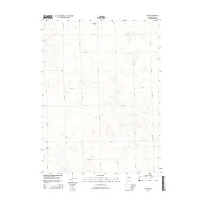
2014 Map of Elsie NW
USGS Topo · Published 2014About this map
Red Willow Creek meanders through this portion of Perkins County, defining a landscape marked by a rhythmic network of section roads and agricultural development. This region of the Nebraska panhandle highlights the integration of aviation into rural life, evidenced by the presence of private facilities like Holzfaster's Airport in the north and Jantzen Airport to the southwest. The terrain is structured by a rigorous grid system, with major local routes such as Elsie Paxton Rd and Paxton-Elsie Rd providing the primary connectivity between the expansive farmsteads. These surveyed lines, including Road 770 and Road 764, reflect the enduring Homestead Act patterns that shaped the Great Plains, where every mile represents a deliberate division of the prairie for cultivation and settlement.
Find a feature on this map
18 named features on this map. Tap any name to fly to it.
Don’t see what you’re looking for? This feature index may not catch every label — zoom into the map to look around manually.
Map Details
Editions of this 2014 Elsie NW Map
This is the sole edition of this map. No revisions or reprints were ever made.
Other maps of this area
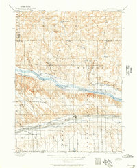
1897 · Ogallala
USGS Topo · 1:125,000
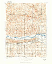
1898 · Paxton
USGS Topo · 1:125,000
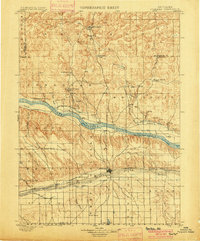
1900 · Ogallala
USGS Topo · 1:125,000
1901 · Paxton
USGS Topo · 1:125,000

1954 · McCook
USGS Topo · 1:250,000

1954 · North Platte
USGS Topo · 1:250,000

1956 · North Platte
USGS Topo · 1:250,000

1957 · North Platte
USGS Topo · 1:250,000

1957 · McCook
USGS Topo · 1:250,000

1958 · McCook
USGS Topo · 1:250,000