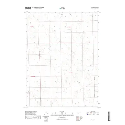
2017 Map of Elsie NW
USGS Topo · Published 2017About this map
The rolling tablelands of western Perkins County are defined by the winding course of Red Willow Cr, which meanders southeast across a landscape of sectioned agricultural fields and cattle range. This 2017 survey reflects the enduring rural character of the Nebraska panhandle, where local travel depends on a grid of gravel roads like RD 764 and the principal north-south connector known variously as Elsie Paxton Rd and Paxton Elsie Rd.
Find a feature on this map
24 named features on this map. Tap any name to fly to it.
Don’t see what you’re looking for? This feature index may not catch every label — zoom into the map to look around manually.
Map Details
Editions of this 2017 Elsie NW Map
This is the sole edition of this map. No revisions or reprints were ever made.
Other maps of this area
1897 · Ogallala
USGS Topo · 1:125,000
1898 · Paxton
USGS Topo · 1:125,000
1900 · Ogallala
USGS Topo · 1:125,000
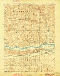
1901 · Paxton
USGS Topo · 1:125,000

1954 · McCook
USGS Topo · 1:250,000

1954 · North Platte
USGS Topo · 1:250,000

1956 · North Platte
USGS Topo · 1:250,000

1957 · North Platte
USGS Topo · 1:250,000

1957 · McCook
USGS Topo · 1:250,000

1958 · McCook
USGS Topo · 1:250,000