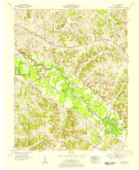
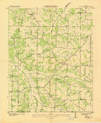
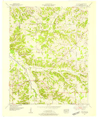
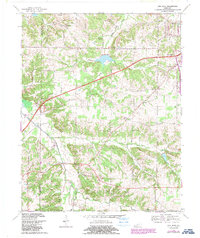
1951 Map of Elva
USGS Topo · Published 1956This historical map portrays the area of Elva in 1951, primarily covering Marshall County as well as portions of Graves County and McCracken County. Featuring a scale of 1:24000, this map provides a highly detailed snapshot of the terrain, roads, buildings, counties, and historical landmarks in the Elva region at the time. Published in 1956, it is one of 2 known editions of this map due to revisions or reprints.
Find a feature on this map
60 named features on this map. Tap any name to fly to it.
Don’t see what you’re looking for? This feature index may not catch every label — zoom into the map to look around manually.
Map Details
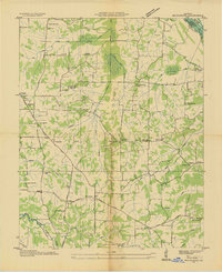
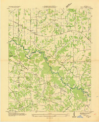
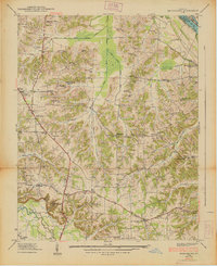
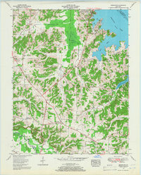
Editions of this 1951 Elva Map
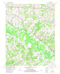
2 editions found
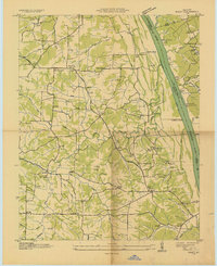
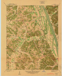
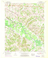
Historical Maps of Elva Through Time
13 maps found
1936 Briensburg
Marshall County, KY
1936 Elva
Marshall County, KY
1936 Hiatt
Marshall County, KY
1936 Oak Level
Marshall County, KY
1938 Briensburg
Marshall County, KY
1940 Hiatt
Marshall County, KY
1951 Elva
Marshall County, KY
1951 Oak Level
Marshall County, KY
1955 Briensburg
Marshall County, KY
1955 Fairdealing
Marshall County, KY
1969 Briensburg
Marshall County, KY
1969 Oak Level
Marshall County, KY
1982 Elva
Marshall County, KY