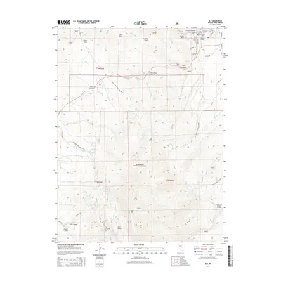
2014 Map of Ely
USGS Topo · Published 2014About this map
Ely sits at the northern edge of this high-elevation survey, where the urban grid meets the steep drainage of Murry Canyon. The landscape is dominated by the Egan Range and the protected lands of the Humboldt National Forest, which surround the town with a network of Forest Development Roads. Notable peaks such as Saxton Peak, Ward Mtn, and Fossil Hill define the horizon, while the terrain is deeply incised by numerous canyons like Robinson Canyon and Ingersol Canyon. Water is a critical element in this arid environment, evidenced by the many named springs such as Murry Springs, Lion Spring, and Ice Plant Spring. The presence of Powder House Canyon and Stillwater Dump reflects the industrial and mining heritage common to this region of Nevada, while landmarks like Natural Arch and Murry Rock provide unique points of reference for local exploration.
Find a feature on this map
73 named features on this map. Tap any name to fly to it.
Don’t see what you’re looking for? This feature index may not catch every label — zoom into the map to look around manually.
Map Details
Editions of this 2014 Ely Map
This is the sole edition of this map. No revisions or reprints were ever made.
Other maps of this area

1952 · Ely
USGS Topo · 1:125,000

1956 · Ely
USGS Topo · 1:250,000

1958 · Ruth
USGS Topo · 1:24,000

1958 · East Ely
USGS Topo · 1:24,000

1958 · Comins Lake
USGS Topo · 1:24,000

1958 · Ely
USGS Topo · 1:62,500

1958 · McGill
USGS Topo · 1:62,500

1958 · Reipetown
USGS Topo · 1:24,000

1958 · Giroux Wash
USGS Topo · 1:24,000

1958 · Ely
USGS Topo · 1:24,000