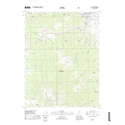
2018 Map of Ely
USGS Topo · Published 2018About this map
Ely sits at the northeastern corner of this study, tucked against the steep rises of the Egan Range within the Humboldt National Forest. The landscape is dominated by a complex network of recreational and utility paths, including the Ice Plant ATV Loop and several segments of the Ward Loop, indicating the area's modern role as a hub for outdoor access. Evidence of historical infrastructure remains visible through features like the Ice Plant, the Head House near Holt Camp Creek, and the Powder House Canyon, reflecting the community's industrial and utility roots in the high desert.
Find a feature on this map
127 named features on this map. Tap any name to fly to it.
Don’t see what you’re looking for? This feature index may not catch every label — zoom into the map to look around manually.
Map Details
Editions of this 2018 Ely Map
This is the sole edition of this map. No revisions or reprints were ever made.
Other maps of this area

1952 · Ely
USGS Topo · 1:125,000

1956 · Ely
USGS Topo · 1:250,000

1958 · Ruth
USGS Topo · 1:24,000

1958 · East Ely
USGS Topo · 1:24,000

1958 · Comins Lake
USGS Topo · 1:24,000

1958 · Ely
USGS Topo · 1:62,500

1958 · McGill
USGS Topo · 1:62,500

1958 · Reipetown
USGS Topo · 1:24,000

1958 · Giroux Wash
USGS Topo · 1:24,000

1958 · Ely
USGS Topo · 1:24,000